
Jul 27, 2024 | Action Alert, Map, Moab, Motorboat, Personal Watercraft, River Raft/Kayak/Canoe, Save Moab, Utah
The Utah Department of Natural Resources is developing a resource management plan for recreation on both the Green River and Colorado River. The purpose of this plan is to, “address and reduce recreation conflicts, overcrowding, and other issues on sovereign...

Jun 27, 2024 | Action Alert, Dirt Bike, Dispersed Camping, E-bike, Fight for Every Inch, Map, Motorboat, Mountain Biking, Off-Roading, Overlanding, Personal Watercraft, River Raft/Kayak/Canoe, SXS, USFS, Utah, Wyoming
The U.S. Forest Service has opened a 30 day public comment period for the public to submit input on the environmental assessment and proposed future plan for the Flaming Gorge National Recreation Area. Located in northern Utah and southern Wyoming, the Flaming Gorge...

Jun 7, 2024 | 10,000+ Project, Action Alert, ATV, BLM, Dirt Bike, Dispersed Camping, E-bike, Fight for Every Inch, Gallery, Image, Link, Map, Off-Roading, Overlanding, SXS, Utah
Another travel management plan in southern Utah is open for public comment until July 22, 2024. Over 1.1 million acres is being evaluated for routes in the San Rafael Swell. The Swell is known for world class off-roading, singletrack, and dispersed camping. Many...
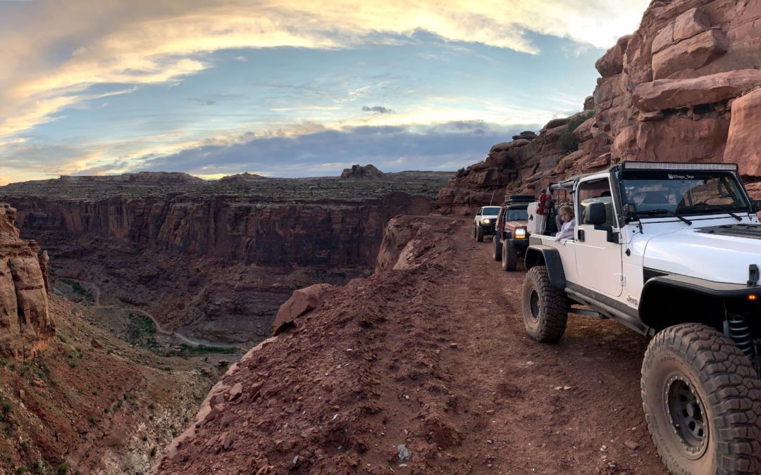
Jun 6, 2024 | 10,000+ Project, Action Alert, Aircraft, ATV, BLM, Dirt Bike, Dispersed Camping, E-bike, Moab, Mountain Biking, Off-Roading, Overlanding, Save Moab, SXS, Utah
On June 12 the Senate Energy and Natural Resources Committee will hold a hearing on the Historic Roadways Protection Act. This legislation would restrict the Bureau of Land Management from closing roads through implementation of recently completed travel plans in Utah...
May 26, 2024 | Action Alert, ATV, BLM, Dispersed Camping, National Monument, Off-Roading, Operation Accessible, Overlanding, SXS, USFS, Utah, Withdraw the Rule
Bears Ears National Monument in southeast Utah is updating the resource management plan, the overarching plan that will direct the future of the monument for decades. This plan will show which areas are off limits to certain users including mining, recreation,...

May 25, 2024 | 10,000+ Project, Action Alert, ATV, BLM, Dirt Bike, Dispersed Camping, E-bike, Fight for Every Inch, Map, Moab, National Monument, Off-Roading, Overlanding, Save Moab, SXS, Utah
Another travel plan affecting trails near Moab is being considered by the Bureau of Land Management. The area is East of Moab where the Dolores River crosses over the Colorado/Utah border, and includes popular trails such as Rose Garden Hill, Buckhorn Draw, Hideout...


