
Dec 22, 2023 | 10,000+ Project, BLM, Dirt Bike, Dispersed Camping, E-bike, Fight for Every Inch, Legal Update, Lost Trails Guidebook, Moab, Mountain Biking, Off-Roading, Overlanding, Press Release, Save Moab, SXS, Utah
The federal court filing follows a ruling by the Interior Board of Land Appeals to deny a stay of the closures earlier this month. SALT LAKE CITY – Today, a coalition of off-road groups took their challenge to the federal government’s arbitrary and illegal...
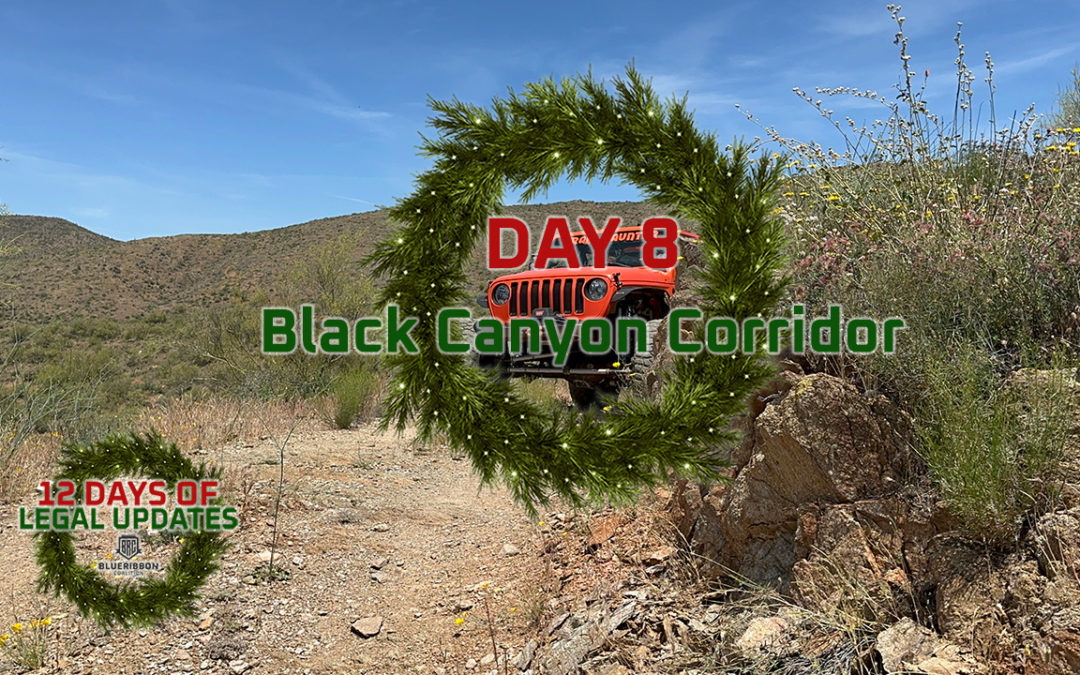
Dec 11, 2023 | Arizona, Legal Update, Lost Trails Guidebook
A little over a year ago, the Hassayampa Field Office of the Bureau of Land Management completed the travel management plan for the Black Canyon Corridor in Arizona. The plan ended up leaving open many valuable routes – including several technical rock crawling...

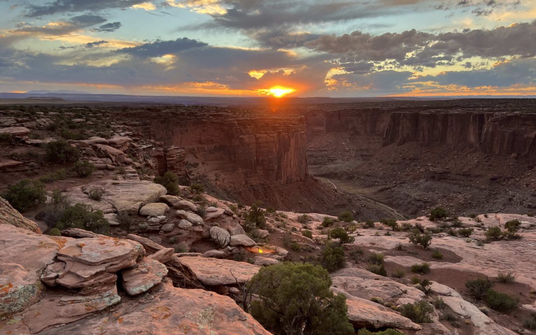
Oct 6, 2023 | 10,000+ Project, Action Alert, Aircraft, ATV, BLM, Dirt Bike, Dispersed Camping, E-bike, Fight for Every Inch, Lost Trails Guidebook, Moab, Mountain Biking, National Park Service, Overlanding, Save Moab, SXS, Utah
The picture above is the Taylor Canyon Overlook located at the end of a route that the Bureau of Land Management lovingly refers to as Route 1026B. It is one of the 317 miles of trails that will be closed by the final travel plan that the BLM released for this area...
Sep 28, 2023 | 10,000+ Project, Aircraft, ATV, BLM, Dirt Bike, E-bike, Lost Trails Guidebook, Moab, Mountain Biking, Overlanding, Press Release, SXS, Utah
SALT LAKE CITY – BlueRibbon Coalition (BRC) announced today that it opposes the Bureau of Land Management’s (BLM) proposed final travel plan for the Labyrinth Rims/Gemini Bridges area near Moab. The plan closes 317 miles of the most popular backcountry roads in the...
Aug 23, 2023 | Action Alert, Arizona, ATV, BLM, Dirt Bike, Dispersed Camping, E-bike, Fight for Every Inch, Image, Link, Lost Trails Guidebook, Map, Mountain Biking, Overlanding
The BLM in Arizona has released the environmental assessment for the Table Mesa Recreation Area and comments are due August 31, 2023. BlueRibbon participated in the scoping phase at the beginning of 2023. This plan gives the options of the No Action Alternative:...
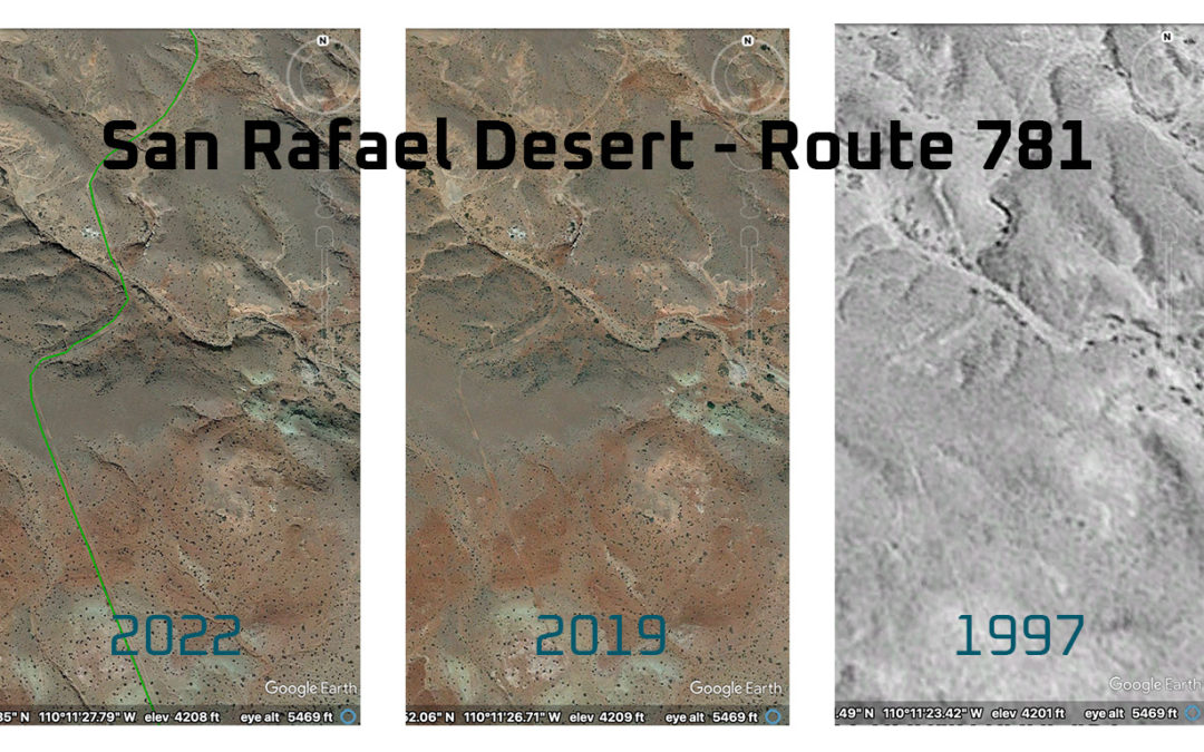
Mar 29, 2023 | 10,000+ Project, Legal Update, Lost Trails Guidebook, Utah
Shortly after the Bureau of Land Management released their decision for the travel plan to increase the miles of open routes in the San Rafael Desert in Utah from roughly 300 miles of routes to roughly 900 miles of routes, we were not surprised to learn that the...


