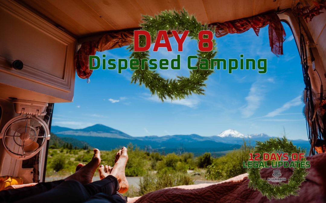
Land Management agencies are increasingly working to close public land to open, free dispersed camping. BlueRibbon Coalition has continued to fight for your access to responsible dispersed camping experiences on public land for many years.
Here are a couple camp sites we fought for this year. We are sharing coordinates because one of the biggest reasons for proposing to close these sites is because they claim the sites have no purpose and need and aren’t being used by the public:
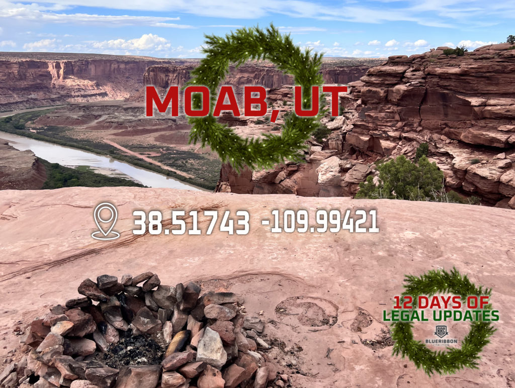
| Moab, UT |
| Coordinates: 38.51743 -109.99421 |
One of our biggest fights this year was in Moab, UT. The Bureau of Land Management released a plan that proposed to close over 400 miles of access routes in the Labyrinth Rim and Gemini Bridges area. The comment period ended in October and we are patiently waiting to hear more information. The location above is a beautiful campsite over looking the Green River. The site has a fire pit that has recently been used and it is obvious the previous camper enjoyed their time. The site is currently designated with signs and trail markers by the Bureau of Land Management. Campsites like this are in danger of closing and BRC is here to make sure that doesn’t happen.
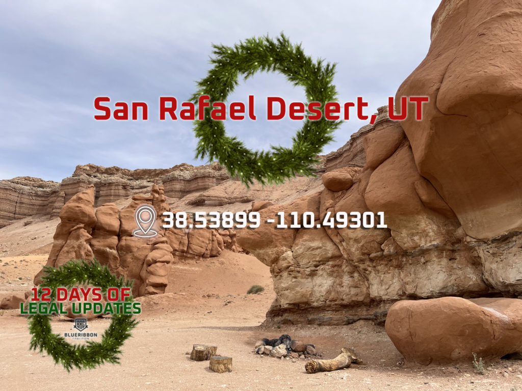
| San Rafael Desert, UT |
| Coordinates: 38.53899 -110.49301 |
The San Rafael Desert is part of our 10,000+ project. In 2008, the Bureau of Land Management issued Resource Management Plans that included travel management planning for 13 areas across the state of Utah. The affected planning areas cover over 6 million acres of BLM land in Utah and include some of Utah’s most spectacular areas for off-road adventure and Dispersed Camping. The Southern Utah Wilderness Alliance sued the BLM, and In January of 2017, the Department of the Interior entered into a settlement agreement with SUWA to resolve their complaints with the plans.
This is why we created the 10,000+ project. This travel management settlement will impact of 6 million acres of public land. Our back of the napkin calculations suggest that this will impact over 10,000 miles of roads and trails. The purpose of the 10,000+ project is to ensure that at the end of this process we have protected access to over 10,000 miles of roads and trails. It’s that simple. We don’t want to give up a single inch.
You can directly help the 10,000+ Project by become a sustaining donor to our Utah Travel Management Plan Legal Fund. We are hoping to build an army of 1,000 donors who will commit $5 a month to this cause.
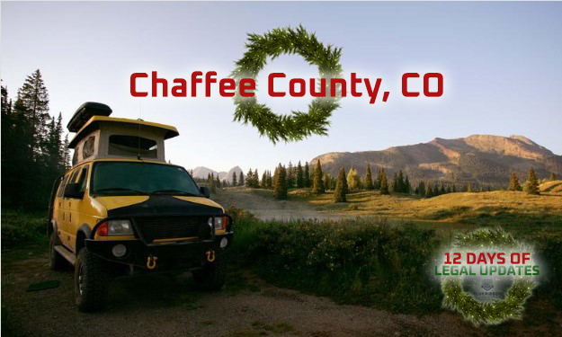
Chaffee County, CO
The BLM is revising their camping and travel management plans in Chaffee County, Colorado which has become very popular in the recent years. With access to the Arkansas River and areas such as Buena Vista and Salida, these are some of the most sought after areas to visit for dispersed camping in Colorado. The travel management portion is located on 13,000 acres and the Camping Management Plan affects 38,000 acres.
Currently the majority of the areas allow a 300 or 100 foot allowance for cars to park off the road for camping. The proposed action would only allow for one car width off the road which would greatly jeopardize any type of dispersed camping experience. We typically see a 100 foot allowance throughout public lands and believe the BLM should adopt this same standard in this planning area.
Comments for this plan ended October 8th and there is no further update. Be sure to keep checking our emails, as we will make updates as we receive them.
| Join the Dispersed Camping Access Alliance |
| The Dispersed Camping Access Alliance is a special project of the BlueRibbon Coalition to protect FREE, PRIMITIVE, OPEN, DISPERSED CAMPING on public land. We have been laying the groundwork for several years to protect camping access on public lands, and many of our favorite camping spots are subject to excessive restrictions and closures if we don’t unify to protect vehicle-based dispersed camping.By becoming a member we will keep you updated on our advocacy work to keep dispersed camping open on public land. |