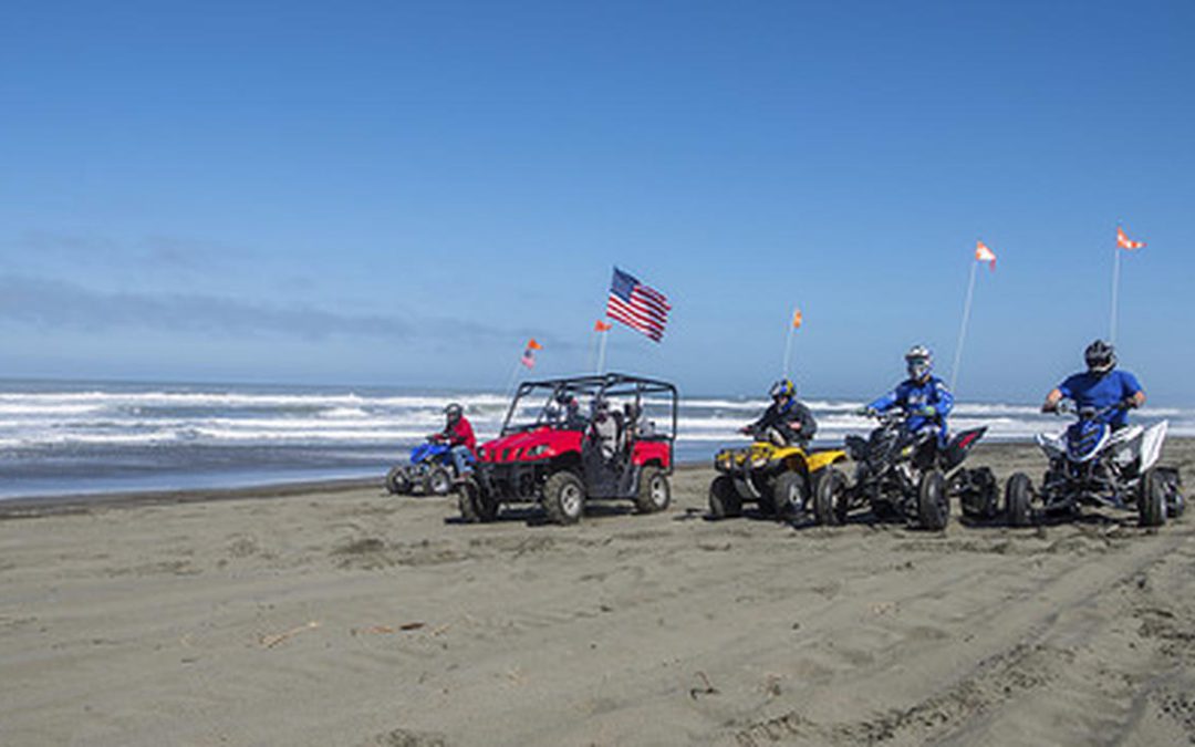
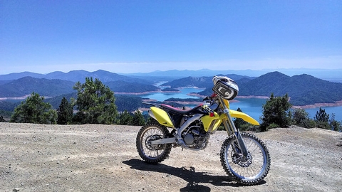
The Arcata and Redding Field Offices have recently started the process to update the Northwest California Integrated Resources Management Plan (NCIP). These field offices include recreation areas such as the Samoa Dunes (Eureka Dunes) and Chappie-Shasta OHV areas. The area offers recreational opportunities from OHV, singletrack, hiking, swimming, camping and everything in between. This is in the scoping phase of the NEPA process which means no concrete proposals and plans have been made, the BLM is asking for general feedback on how this Resource Management Plan should be created moving forwards. We have been attending the zoom meetings regarding the new plans to represent recreation interests. There are already several areas in Northern California that are congressionally designated as Wilderness areas. Because of these designations as well as others throughout California, recreational areas continually are being closed down to Wilderness or other management restrictions. The BLM did note on these meetings the need for more areas for the public to recreate in because of the increase in recreational uses over the past several years. BRC believes more areas could be opened up to accommodate the growing interests of recreation users.
These field offices are surrounded by Forest Service lands as well as private forests and ranches. It is crucial for the BLM to properly manage these lands as to not add to the growing problem of wildfire in Northern California. Creating roadless areas or areas with Wilderness characteristics will greatly hinder the management activities that can help prevent fires from destroying these landscapes. This area also has several reservoirs such as Lake Shasta and maintaining watersheds and healthy public lands will also help in the growing need for water in the Western United States.
Dispersed camping has also grown in popularity in the past few years. These areas in Northern California, especially along the coast are some of the most sought after areas for camping. We do not want to see the BLM use this planning process as a way to restrict camping access or eventually move to designated camping spots only.
If you have on the ground knowledge of specific areas or trails that need to continue to stay open or need to be developed into usable roads, trails and staging areas please include them in your own comment and send us that information as well. The BLM wants to hears from the public what is wanted and needed. Although this planning process doesn’t address trails specifically, it will allow us to provide better information for areas that should not be deemed as roadless so that recreation can continue in the future.
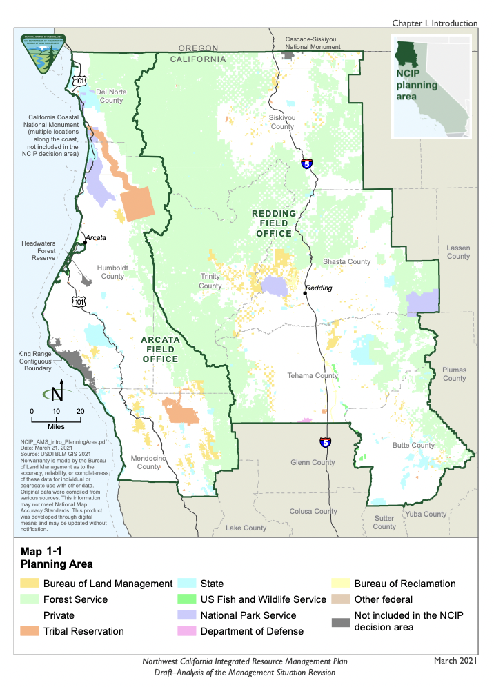
Below is a map of the planning area. Please add your voice to ours using the tool below to let the Bureau of Land Management know that recreation is important to public land users and this updated plan need to allow for continued and increased access.