
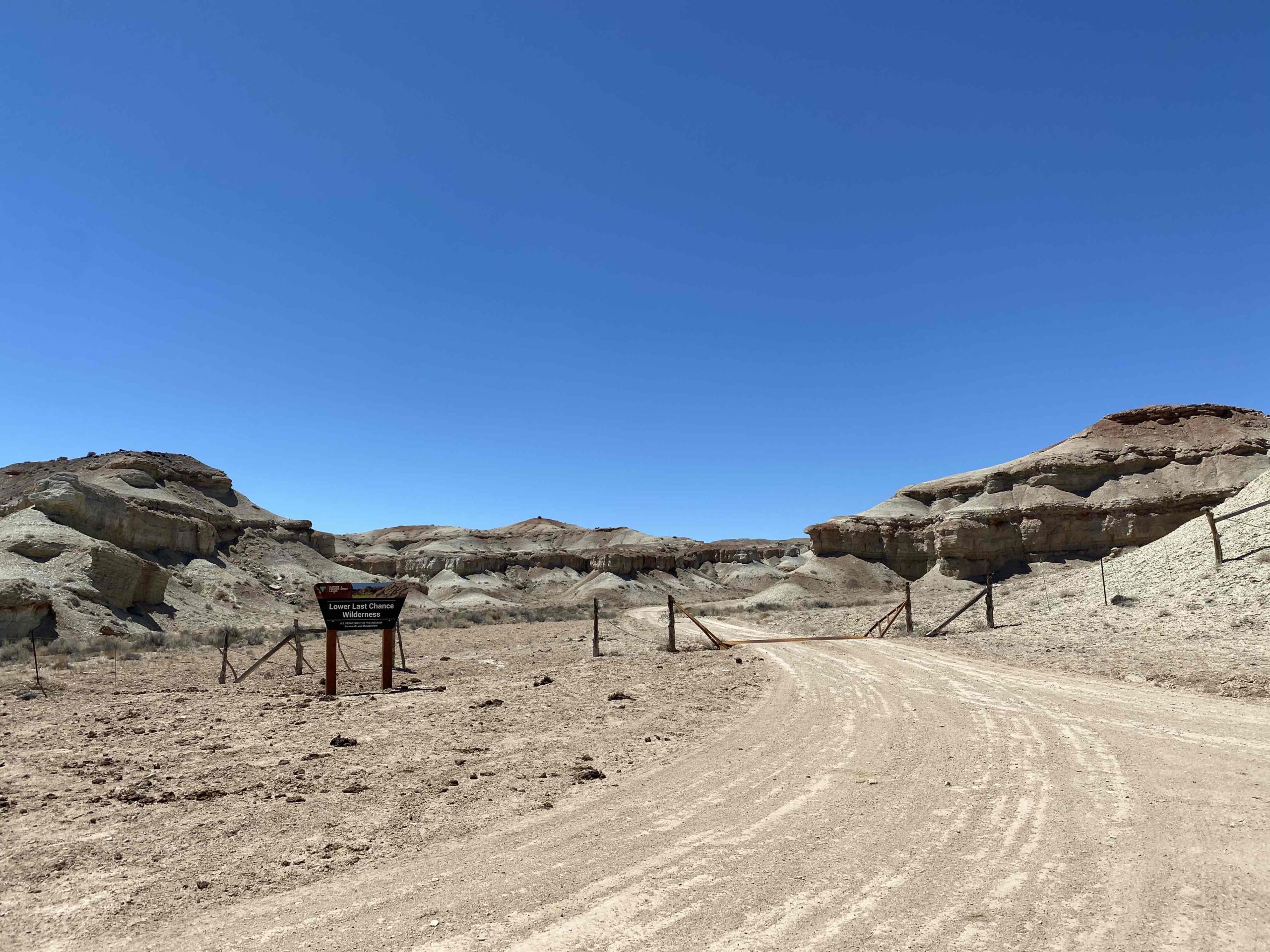
Overview: If you visit Segers Hole, the best way to return back to Exit 99 is to make a loop. Your can follow the main graded Segers Hole road, or if you want to get off the beaten path and explore a less-traveled section of this remote backcountry, you can take BLM Route SS5129.
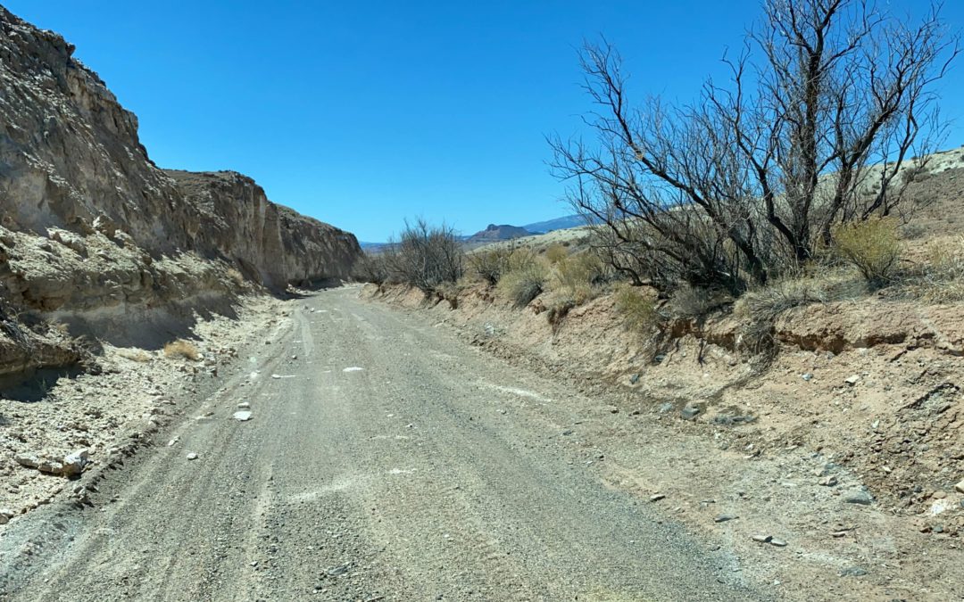
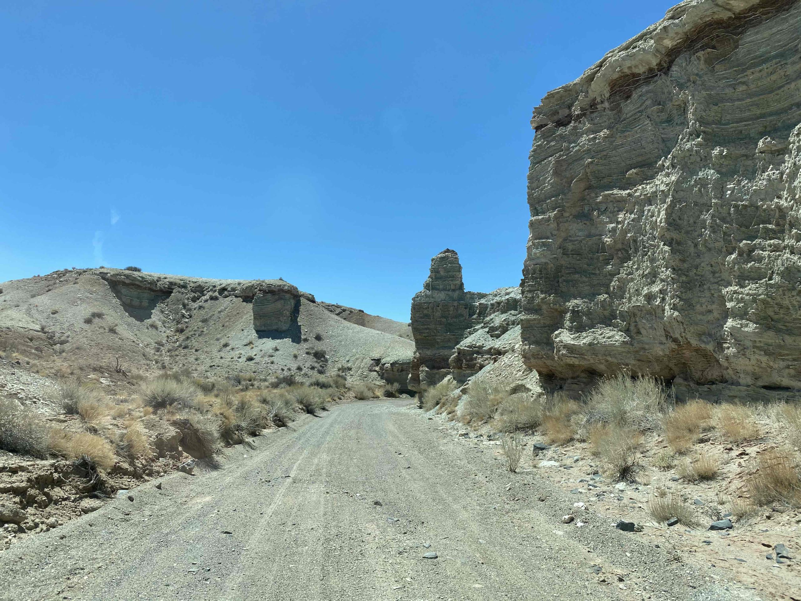
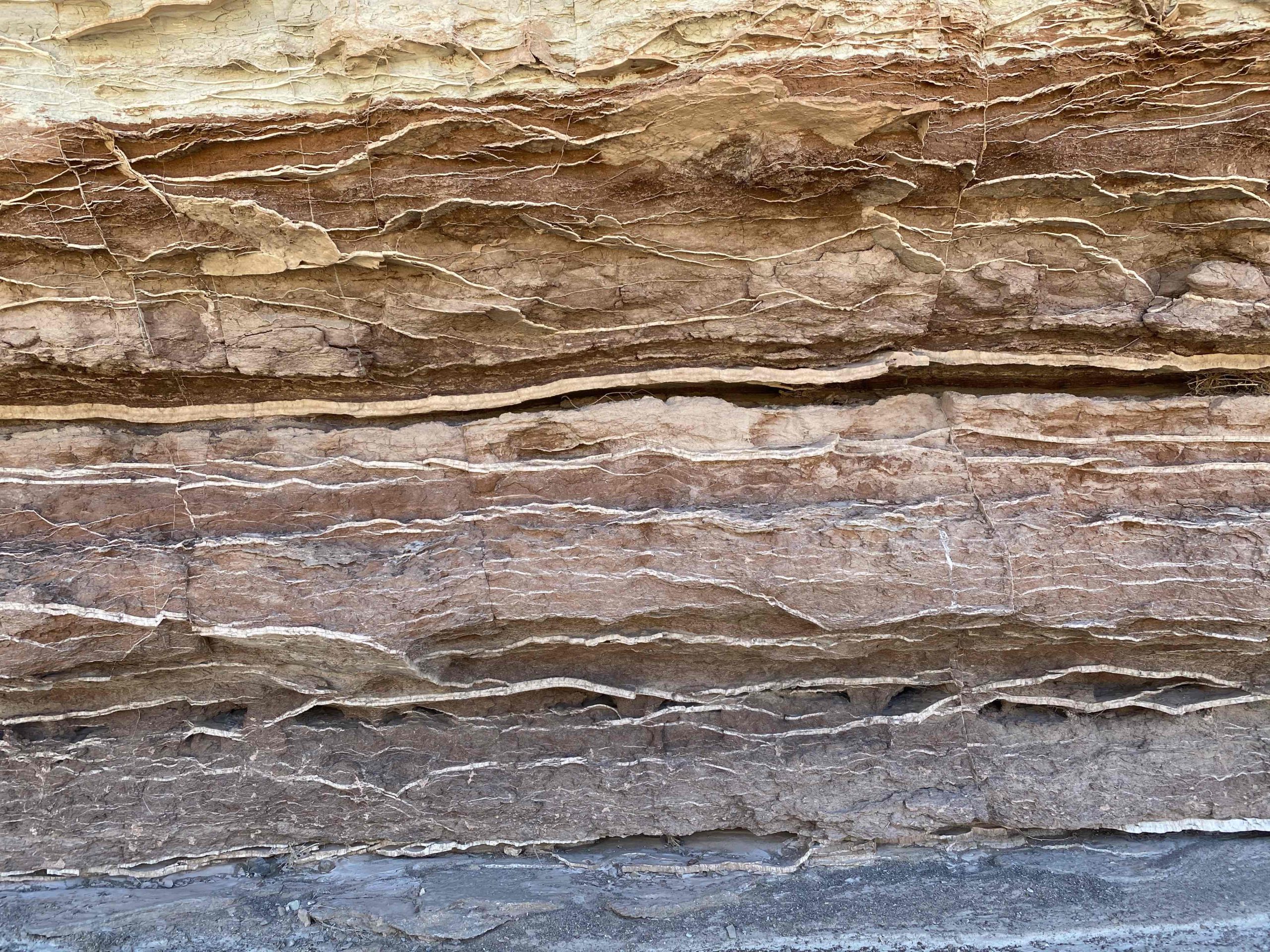
Getting There: This route leaves Segers Hole Road at GPS coordinates 38.61148, -111.10118. Route SS5129 takes you through a box canyon that boasts unique geological features and minerals. The route eventually ends by connecting back to the Segers Hole Road, and you can take Lower Last Chance Loop Road back up the nearly 40 miles back to Exit 99 on I-70. You will connect near one of the main cherry-stems into the Lower Last Chance Wilderness.
View Full BLM Scoping Map for the San Rafael Swell here: https://www.arcgis.com/apps/webappviewer/index.html?id=7ab9ab7390ae4a3b8131990680a8776f&extent=-12394149.4564%2C4653898.2205%2C-12265811.6859%2C4720857.0573%2C102100
Route Conditions: As is almost always the case in the less-traveled roads of the San Rafael Swell, a high clearance 4WD or AWD vehicle is necessary to navigate this route. As always, follow LEAVE NO TRACE practices. Irresponsible recreation leads to ecological damage, road closures, and loss of access to important resources. It is important that motorized users stay on the trail and camp within a 30′ buffer zone on either side of the road.

This route report is part of a larger guidebook BRC is completing to educate users about high-value motorized trails that are at risk of closure if we don’t use them. This guidebook will be called the Lost Trails Guidebook, and has been funded by a generous grant from the Yamaha Outdoor Access Initiative with Jorgensen Powersports as a sponsoring dealer.


