
Overview: The San Rafael Swell (located south of Price, UT) is home to some of the most spectacular desert trails of the Intermountain West. This area is home to some of Utah’s best backcountry adventures. Along the outskirts of the San Rafael Swell TMA, there are several lesser-known networks of BLM managed trails. These networks provide access to a nearly untouched backcountry. Within these networks, BLM Route 5502, known as Willow Springs Road, is one of the less-explored roads in the southwestern slope of the Swell. Unlike many remote trails, this route not only offers profound solitude, but is easily accessible to larger campers, trailers, and–given good weather–high clearance 2WD vehicles. If you are looking for a quick getaway or accessible staging area, this is the route for you.
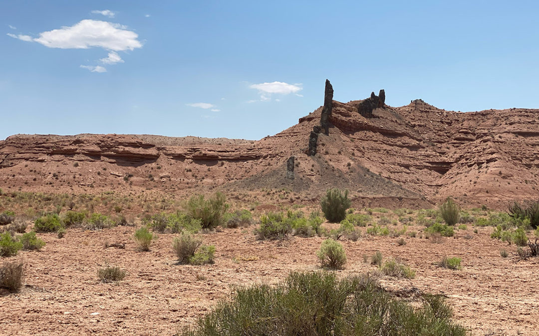
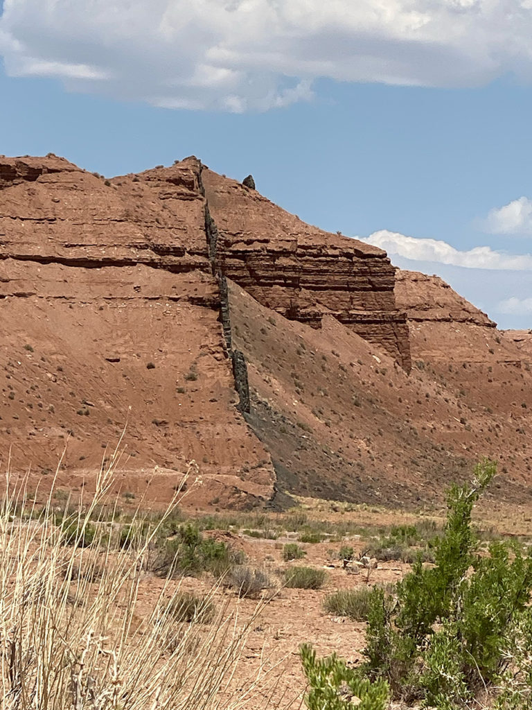
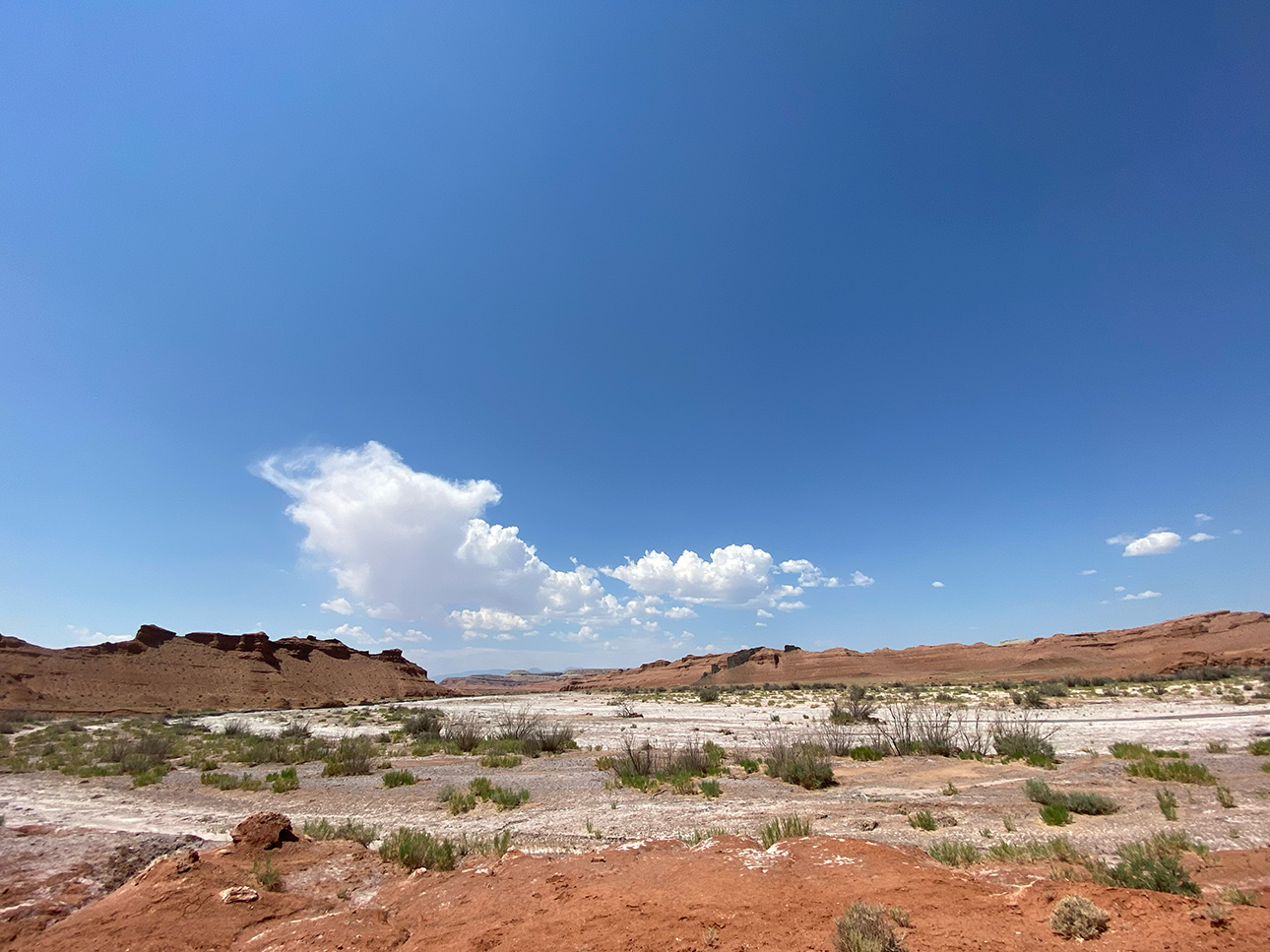
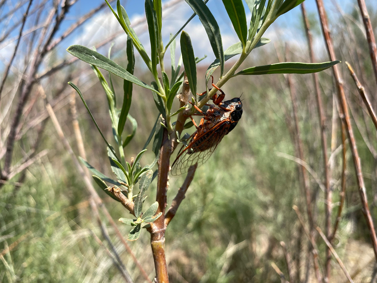
Getting There: The best way to access Willow Springs Road is from the Lone Pine exit off of I-70. Just south of the freeway is a staging area, that is a good starting point for exploration of this area (Coordinates 38° 50′ 23.9274″, -111° 3′ 41.7594″). While Route 5502 is a well-maintained route, we selected it for inclusion because it is less-prominently featured in other guides to the area. The terrain mostly consists of red dirt badlands that are filled with unique geological features. Keep your eye out for basalt, because every time you find some it will leave you scratching your head about how it got there. From blades of black rock that appear to be slicing red dirt hills in half to randomly placed basalt boulders, the geology in this area is fascinating. Willow Springs Wash itself tells part of the story of the forces of water that periodically shape this desert through floods. Muddy Creek flows through the area, and you will cross it over a bridge. Because of the water source, there is plenty of wildlife to observe, and it is unlikely you will run into any other people.

View Full BLM Scoping Map for the San Rafael Swell here: https://www.arcgis.com/apps/webappviewer/index.html?id=7ab9ab7390ae4a3b8131990680a8776f&extent=-12394149.4564%2C4653898.2205%2C-12265811.6859%2C4720857.0573%2C102100
Route Conditions: BLM Route [#] is an easy, broad route. This route is passable for any 4WD vehicle and some high clearance 2WD vehicles during most seasons of the year. It is also an excellent choice for those pulling a camper or a trailer.
As always, follow LEAVE NO TRACE practices. Careless recreation leads to ecological damage, road closures, and loss of access to important resources. It is important that motorized users stay on the trail and camp within a 30′ buffer zone on either side of the road.
Like with many main access routes in the Swell, you will find side roads and spurs that allow you to explore even more of this area. These spurs often make great campsites, and they are at risk of closure under claims of natural reclamation if they are not used. Please come and enjoy this beautiful area and help keep our roads open.

This route report is part of a larger guidebook BRC is completing to educate users about high-value motorized trails that are at risk of closure if we don’t use them. This guidebook will be called the Lost Trails Guidebook, and has been funded by a generous grant from the Yamaha Outdoor Access Initiative with Jorgensen Powersports as a sponsoring dealer.


