
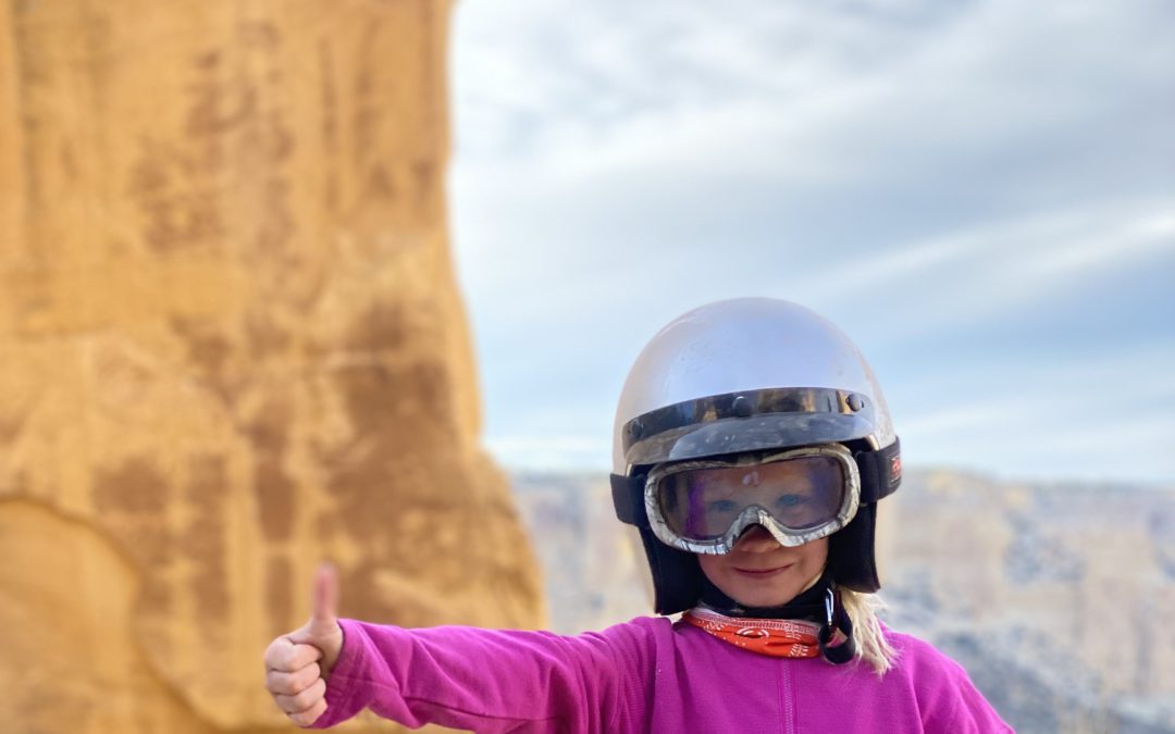
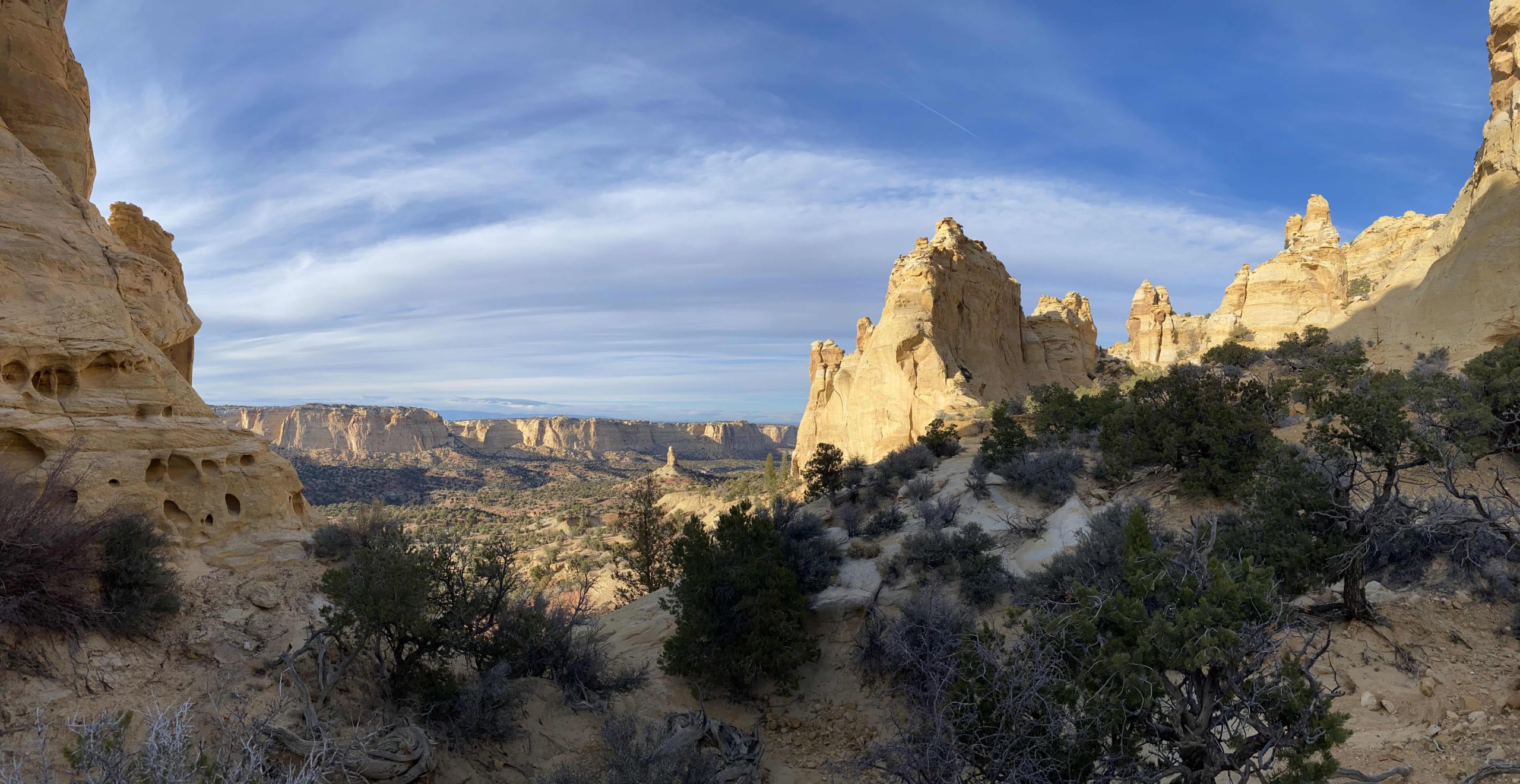
Overview: Devil’s Racetrack is one of the most well-known and well-travelled tracks of Southern Utah. Less well-known are the many side-spurs currently open for exploration. Located just outside of Green River and north of the San Rafael Swell, Sinbad Valley offers fantastic variety in terrain and scenery; with banking turns, dramatic sandstone cliffs, and hidden destinations, this area is well worth your while to explore. If you are out exploring the Devil’s Racetrack and want to get away from the crowds, the network of trails we are about to reveal offer a great option for a remote adventure. Featuring some of the area’s best views and located near several ideal dispersed campsites, these trails extend into the Sinbad Valley and provide access to an ancient petroglyph site that is sure to add a memorable experience to your adventure.
Getting There: There are several ways to approach this spur within the many existing trails within the Sinbad Valley area. Take time to familiarize yourself with the map and coordinates and plan a route that best fits you and your group. Be sure to not head off into the backcountry alone and tell someone where you are going before starting your trip.
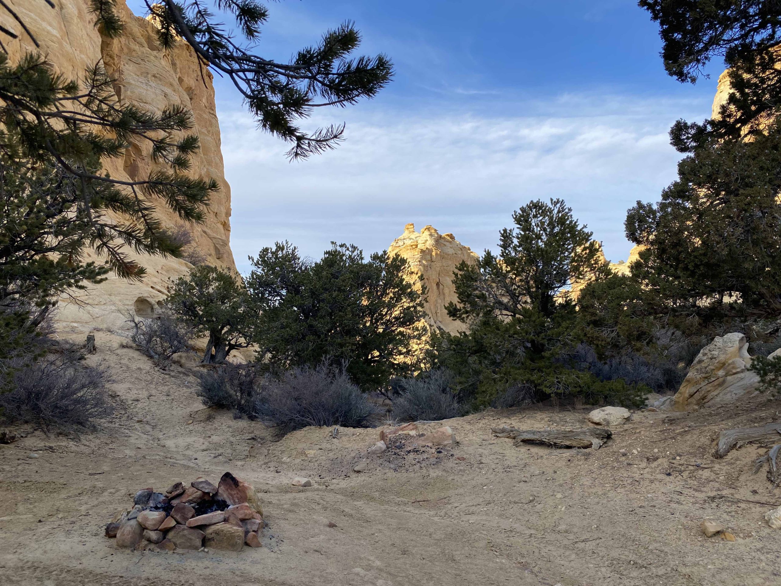
BLM trail SS3278 turns off of Devil’s Racetrack at 38°52’19.82″N and 110°46’52.51″W. Approximately two thirds of a mile up the spur, SS3278 becomes SS3274 where it continues for approximately another quarter of a mile before ending at a high quality and remote dispersed campsite. SS3278 branches off to the East, joining with a network of trails that skirt along a sandstone cliff face. Trails in this network include SS3279, SS3282, and SS3277. SS3277 curves back down south to rejoin Devil’s Racetrack at GPS coordinates 38°52’32.71″N and 110°46’19.02″W. These trails provide access the breathtaking scenery and several high quality dispersed campsites.
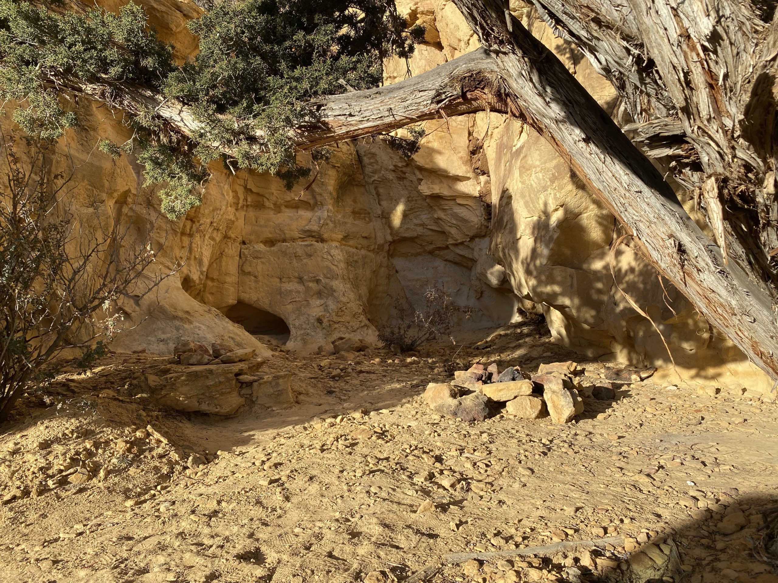
Just adjacent to this network of trails, SS3283, turns off of Devil’s Racetrack approximately 0.25 miles to the East of SS3277. SS3283 then extends about 0.27 miles from the main trail and ends at ancient, Native American petroglyphs. You will find the petroglyphs at the end of SS3283 at GPS coordinates 38°52’46.90″N and 110°45’54.83″W.
Accessibility and Trail Conditions: These spurs are accessible to most high clearance vehicles during the dry seasons of the year, although we highly recommend using an AWD or 4WD vehicle. As always, utilize LEAVE NO TRACE practices. Irresponsible recreation leads to ecological damage, road closures, and loss of access to important resources. It is important that motorized users stay on the trail and camp within a 30′ buffer zone on either side of the road.
These and other nearby spurs discussed in this article are at risk of closure under claims of natural reclamation if they are not used. Please come and enjoy this beautiful area and help to keep our roads open.

This route report is part of a larger guidebook BRC is completing to educate users about high-value motorized trails that are at risk of closure if we don’t use them. This guidebook will be called the Lost Trails Guidebook, and has been funded by a generous grant from the Yamaha Outdoor Access Initiative with Jorgensens Powersports as a sponsoring dealership.


