
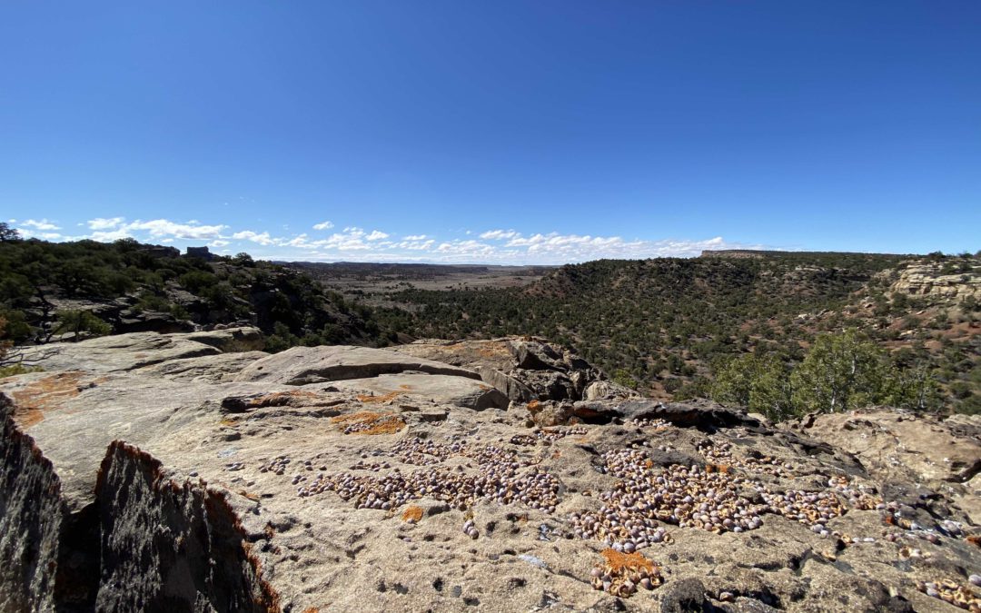
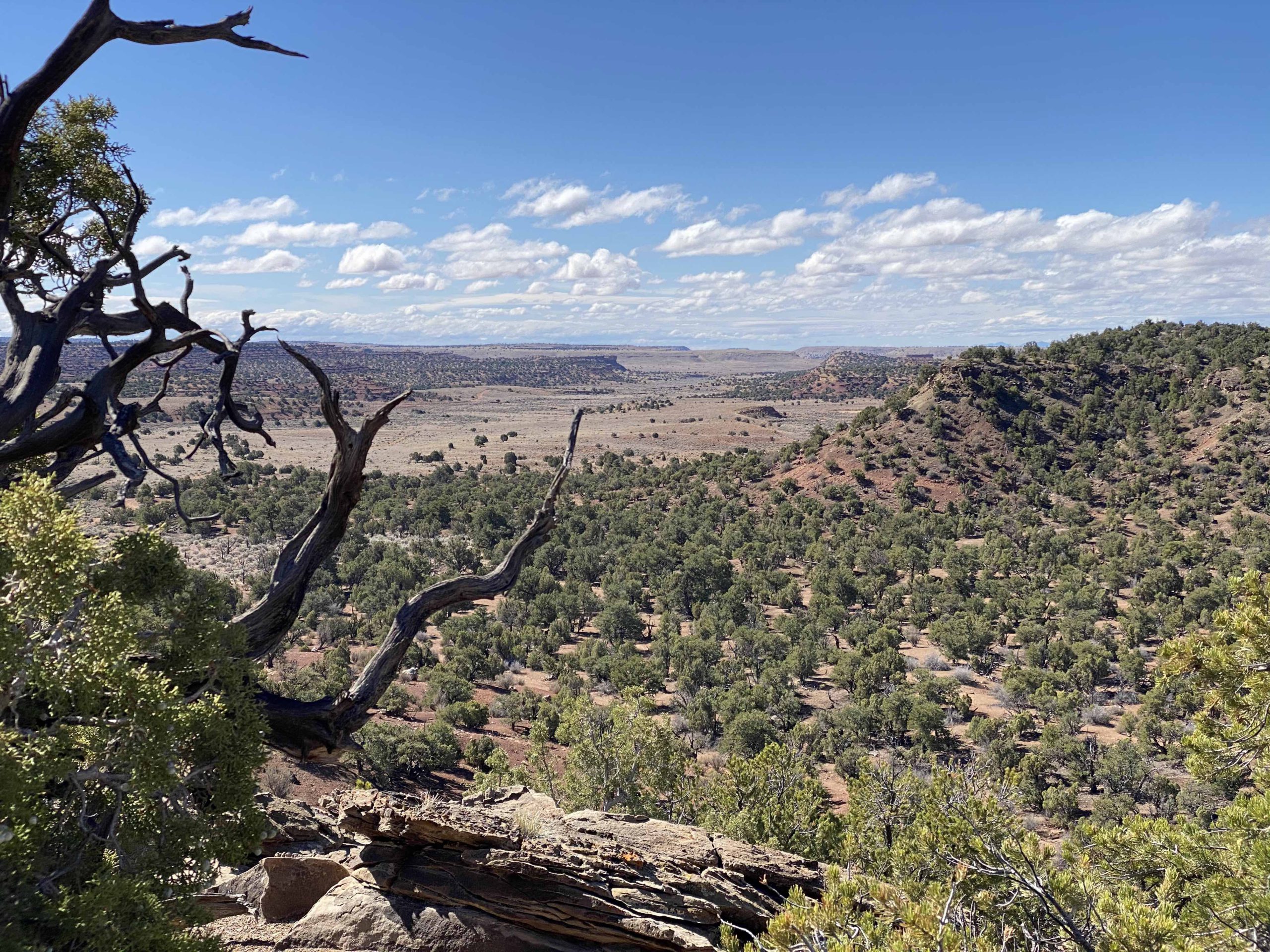
Overview: Located within Utah’s San Rafael Swell, the Family Butte area contains a vast network of trails that explore breathtaking cliffs and remote, desert landscape. Located within this network, many BLM trails lead to hidden adventure sites, including dispersed campsites, abandoned mines, and other remote gems. BLM Route SS4083 stands out as an excellent example of one of these trails. Located just to the west of Family Butte, BLM Route SS4083 ends at a spectacular dispersed campsite, overlooking an old, abandoned uranium mine. With plenty of interesting features for explorers of all ages to enjoy, this route stands out as a must-see for any group looking to get off the beaten path and enjoy a remote, camping experience and historic adventure.
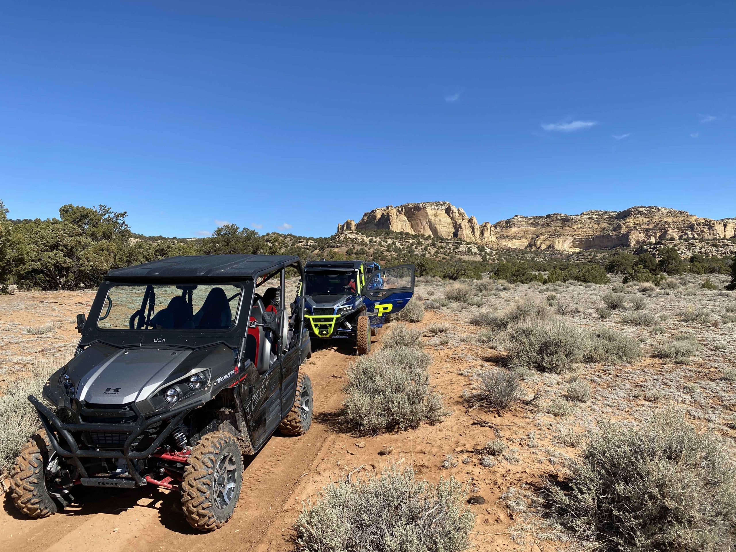
Getting There: There are several ways to approach this spur within the many existing trails of the San Rafael Swell. Take time to familiarize yourself with the map and coordinates and plan a route that best fits you and your group. Be sure to not head off into the backcountry alone and tell someone where you are going before starting your trip.
SS4083 turns off of SS4062 at coordinates 38°48’44.09″N and 110°49’10.43″W. There are two primary routes that lead to this area (many others could be selected to fit you and your group within the many existing trails of the San Rafael Swell). For those looking for the most direct route along an easy, open road, we recommend traveling south along BLM Route SS4001 to SS4002 from I-70 (see picture below on the left). For those looking for a more scenic, exploratory route, we recommend taking Eagle Canyon from Justensen Flats to BLM Route SS4059 (see picture below on the right).
Should you and your party select BLM Route SS4001, you will pass into a SITLA public lands parcel. This is where your main route would connect with BLM SS4062, prior to the turnoff for BLM SS4083.
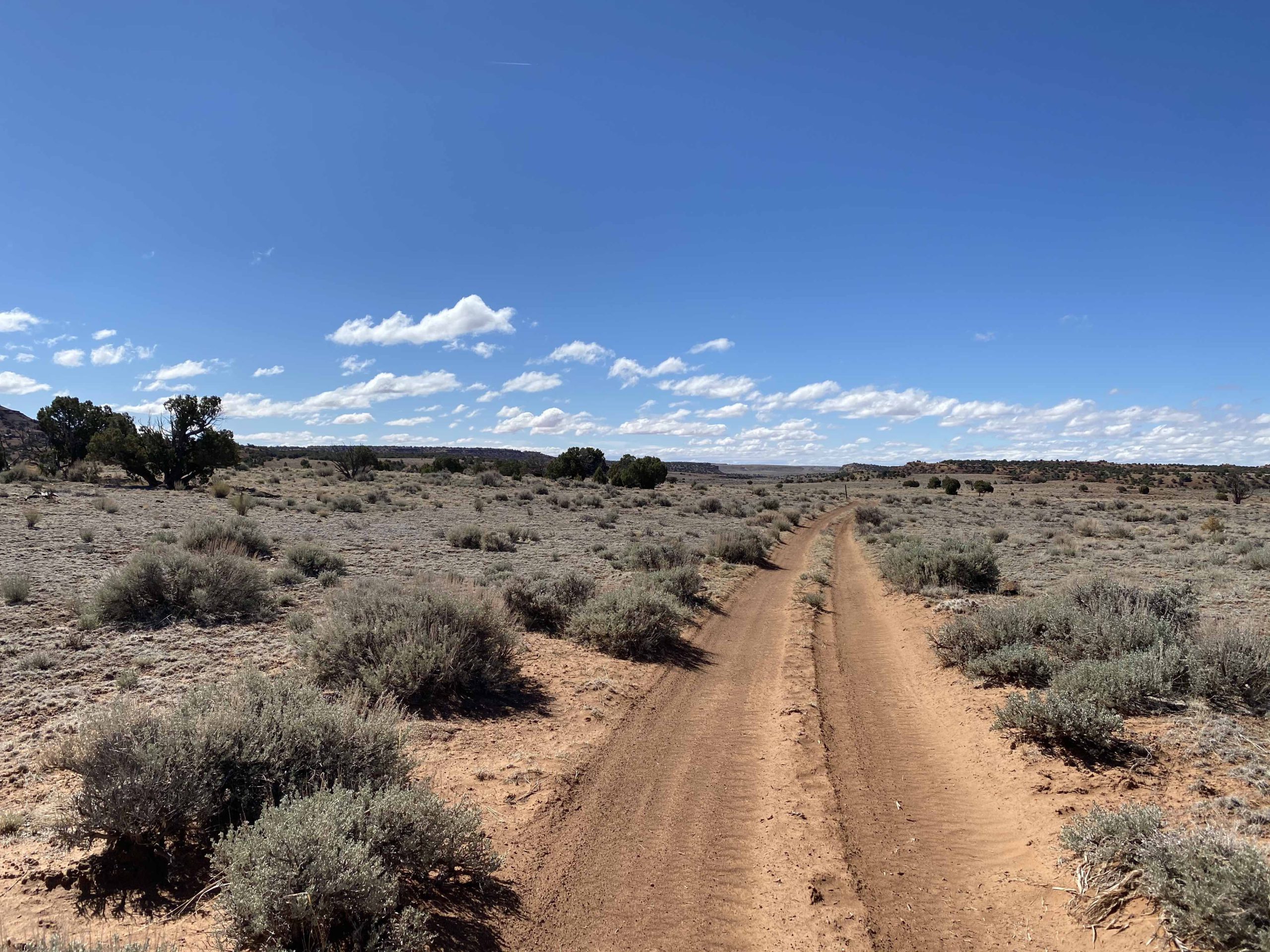
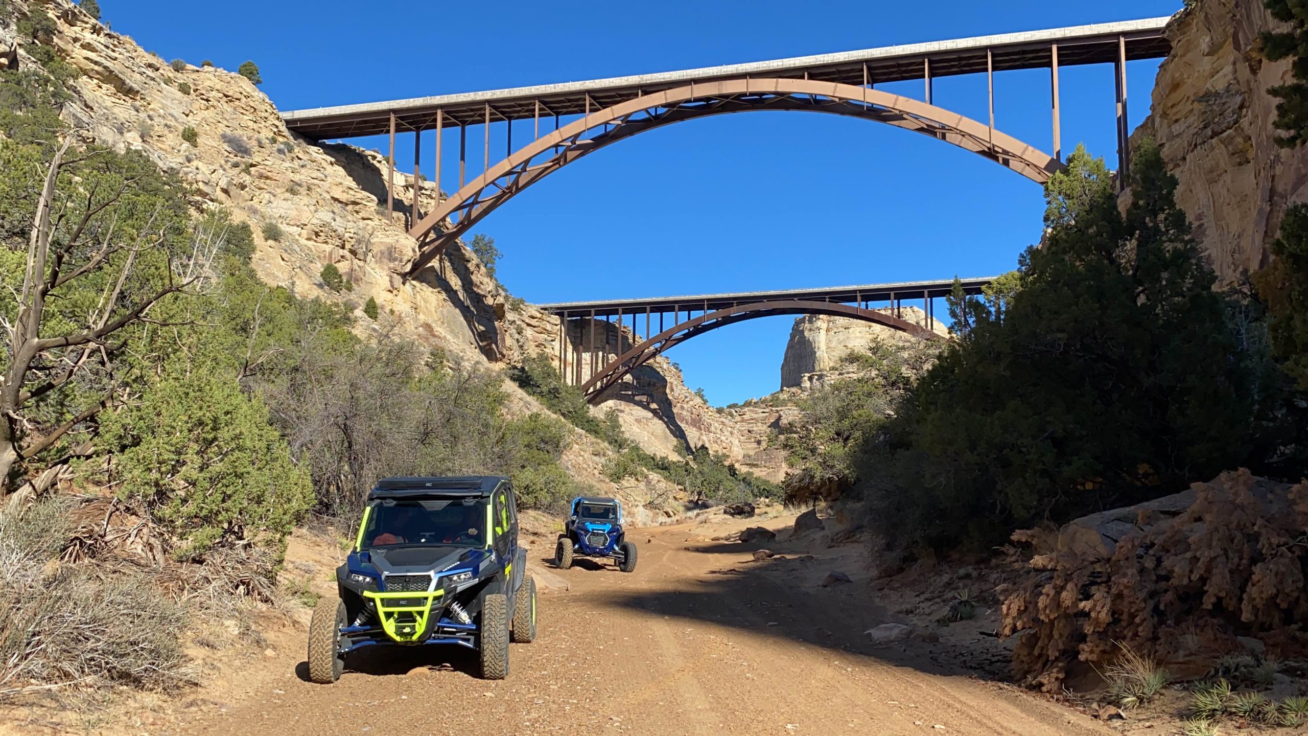
Route Conditions: BLM Route SS4002 is an easy, broad route, located adjacent to Family Butte Road. This route is passable for any high clearance, 4WD vehicle during most seasons of the year. Eagle Canyon to BLM route 4059 features more rugged, technical terrain and access to a plethora of routes and spurs located throughout the San Rafael Swell. We recommend using a well equipped, high clearance 4WD or AWD vehicle and being mindful of weather conditions, should you take the second route.
As always, utilize LEAVE NO TRACE practices. It is important that motorized users stay on the trail and camp within a 30′ buffer zone on either side of the road. Irresponsible recreation leads to ecological damage, road closures, and loss of access to important resources.
View Full BLM Scoping Map for the San Rafael Swell here: https://www.arcgis.com/apps/webappviewer/index.html?id=7ab9ab7390ae4a3b8131990680a8776f&extent=-12394149.4564%2C4653898.2205%2C-12265811.6859%2C4720857.0573%2C102100
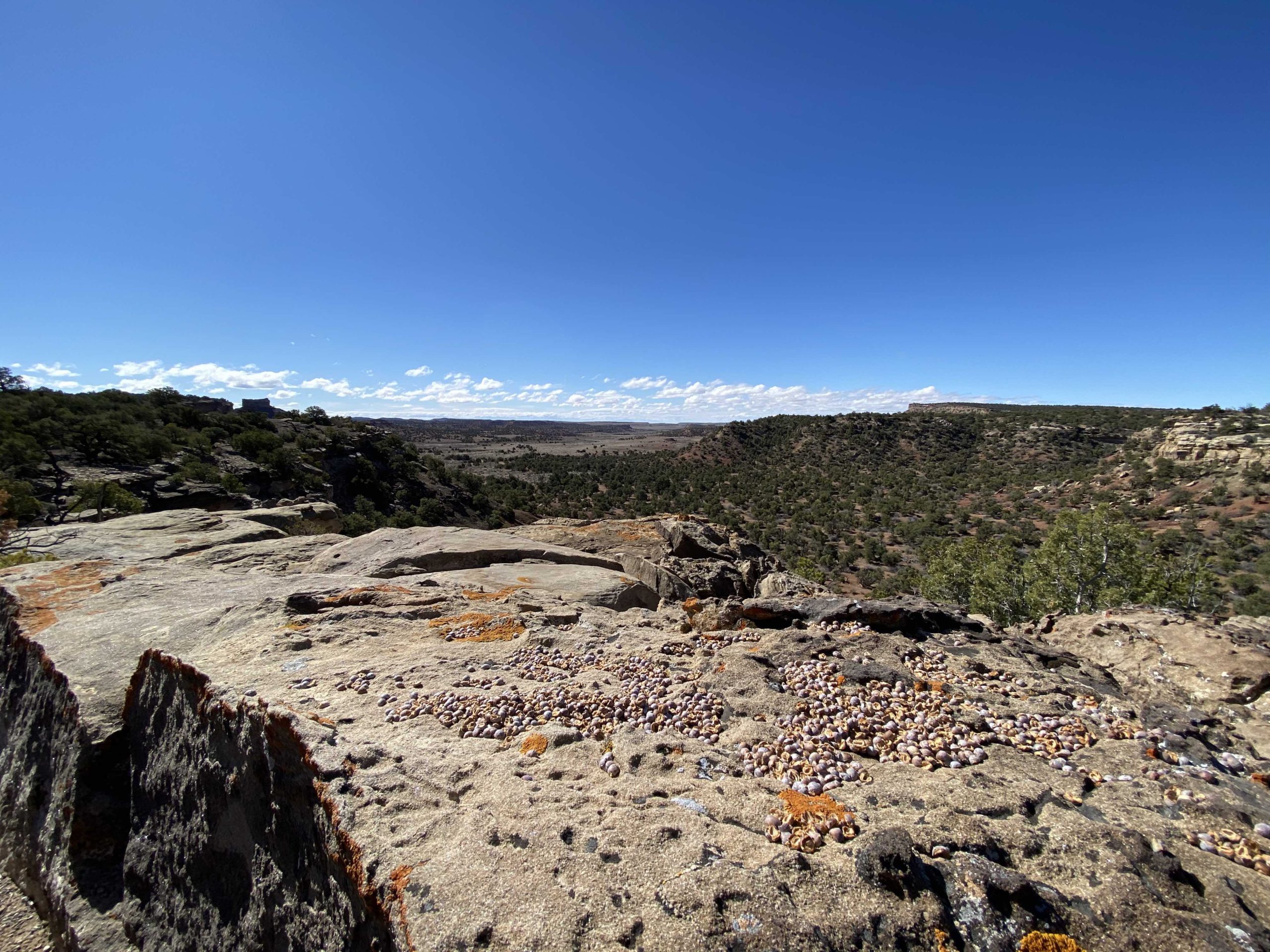
Route SS4083 continues less than a quarter of a mile from SS4062. You will find that the route ends in a small turnaround with a quiet dispersed campsite at the edge of the overlook. You will know you have arrived at your destination when you reach GPS coordinates 38°48’34.36″N and 110°49’3.25″W.
These and other nearby spurs discussed in this article are at risk of closure under claims of natural reclamation if they are not used. Please come and enjoy this beautiful area and help to keep our roads open.

This route report is part of a larger guidebook BRC is completing to educate users about high-value motorized trails that are at risk of closure if we don’t use them. This guidebook will be called the Lost Trails Guidebook, and has been funded by a generous grant from the Yamaha Outdoor Access Initiative with Jorgensens Powersports as a sponsoring dealer.


