
Overview: The horse bench area, located in the San Rafael Desert south of Green River, UT, contains a series of trails that traverse vast tracts of remote, open desert landscape and end at one of the most spectacular dispersed campsites this desert has to offer. The trails included in this article are at risk of closure under claims of reclaiming if they are not used. It is important that motorized users stay on the trail and camp within a 30′ buffer zone on either side of the road. These trails are accessible to any well-equipped, 4WD vehicle. Please come and enjoy this beautiful area and help to keep our roads open.
Getting There: The trails featured in the video above include Routes SD765, SD788, SD787, SD771, SD772, and SD781. To get the most out of this network of trails and experience as much terrain as possible, we recommend starting at SD765 and then proceeding in order from SD788 to SD787, followed by SD771, SD772, and finally, SD781.
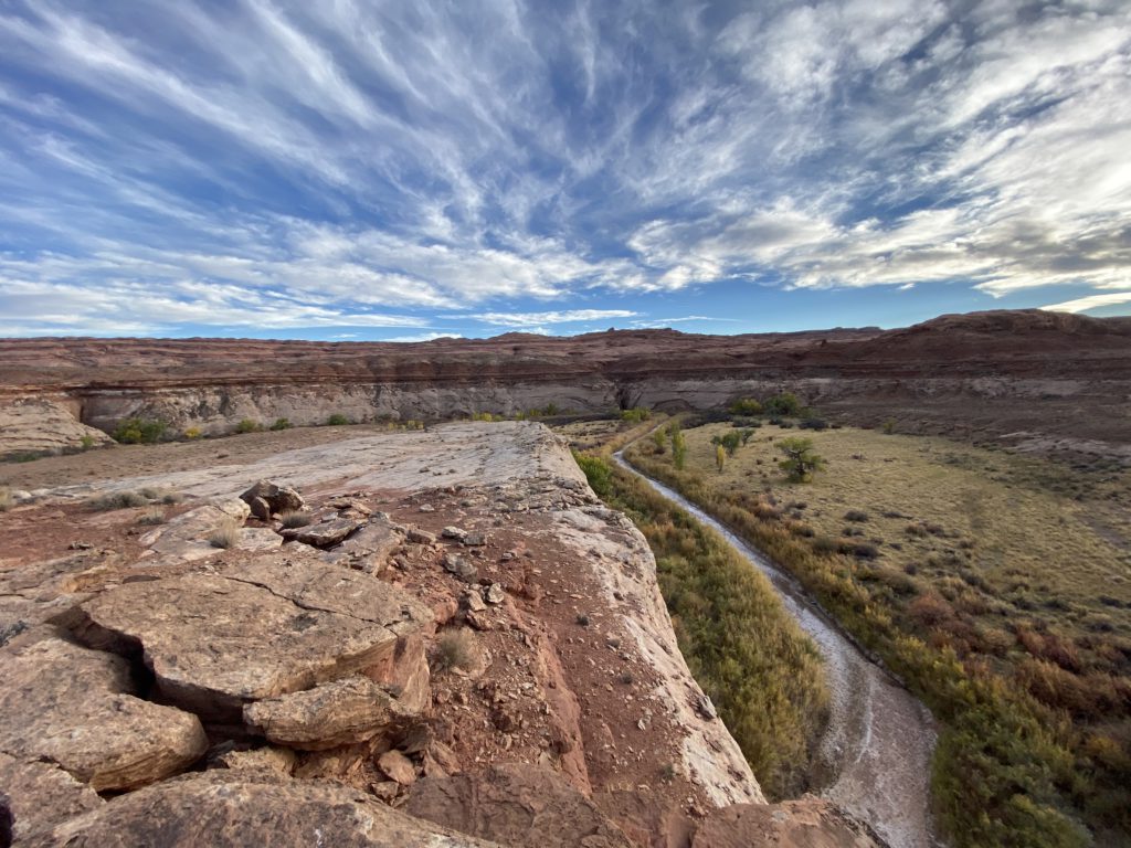
There are several ways to approach this cluster of routes within the many existing trails of the San Rafael Desert. Take time to familiarize yourself with the map and coordinates and plan a route that best fits you and your group. Be sure to not head off into the backcountry alone and tell someone where you are going before starting your trip. You will find the dispersed campsite at the end of SD781 at GPS coordinates 38°44’0.18″N and 110°11’11.08″W.
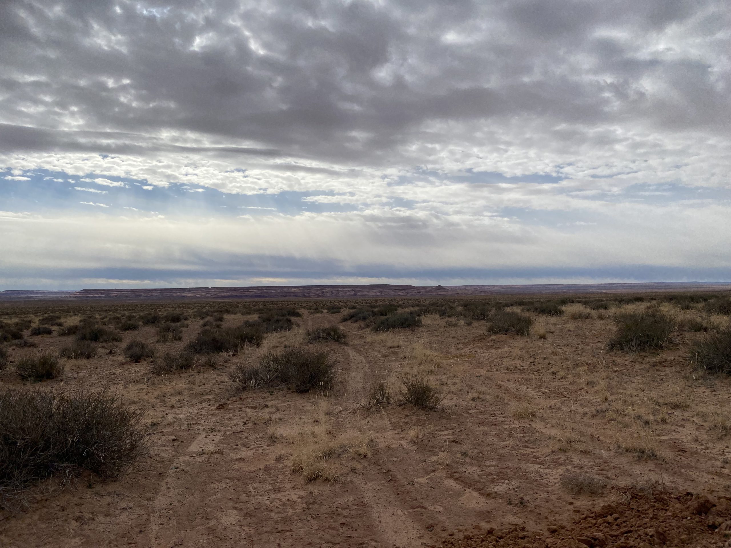
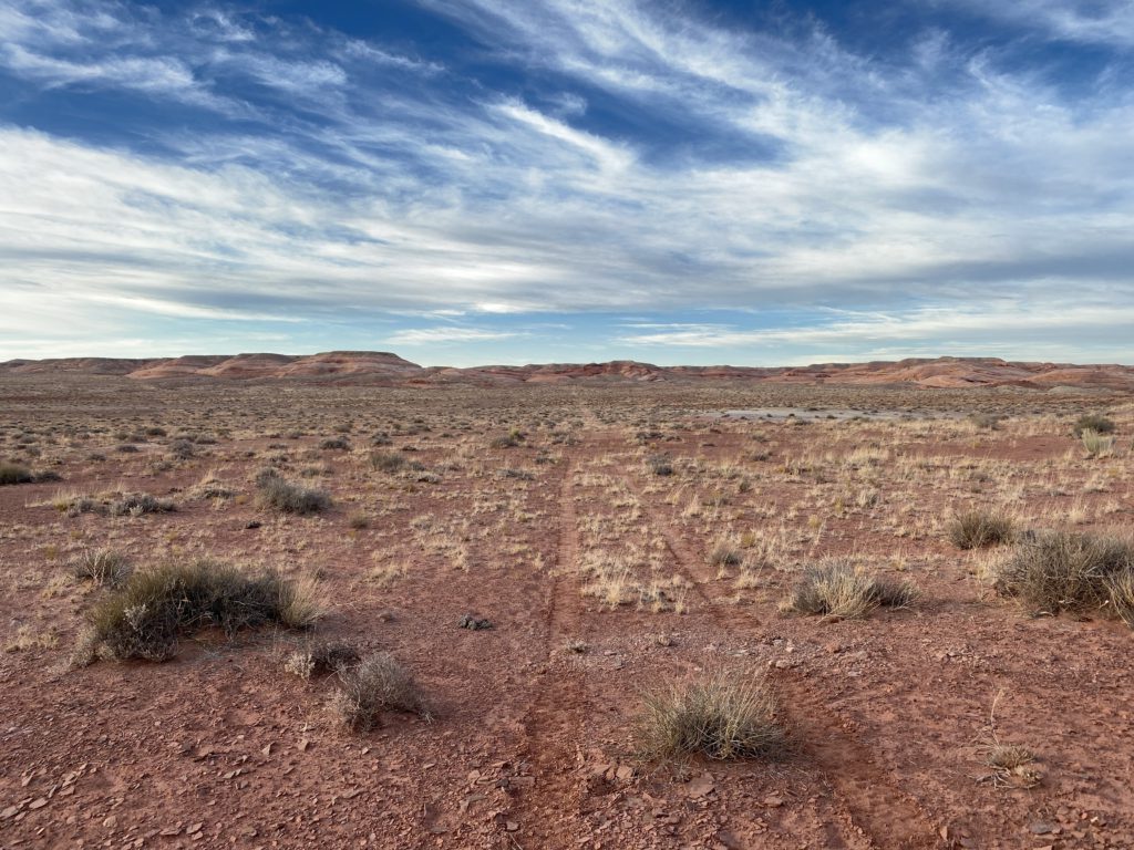
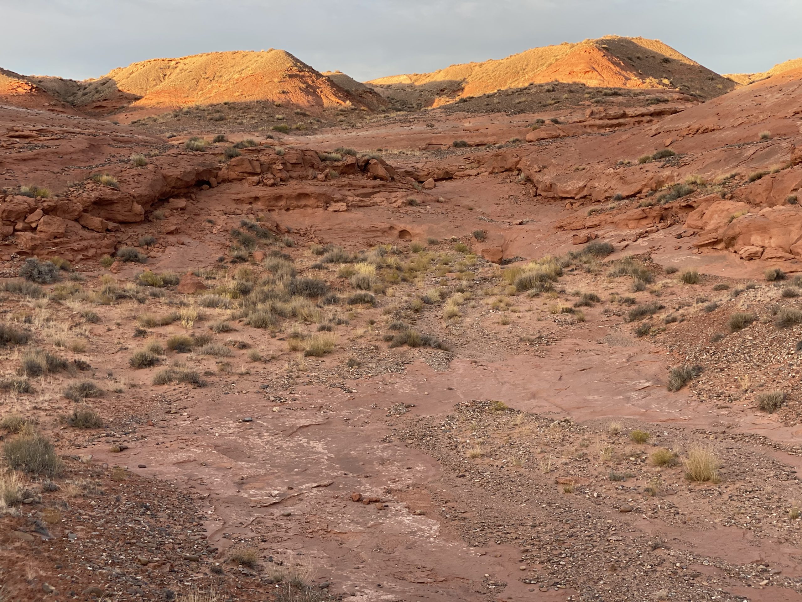
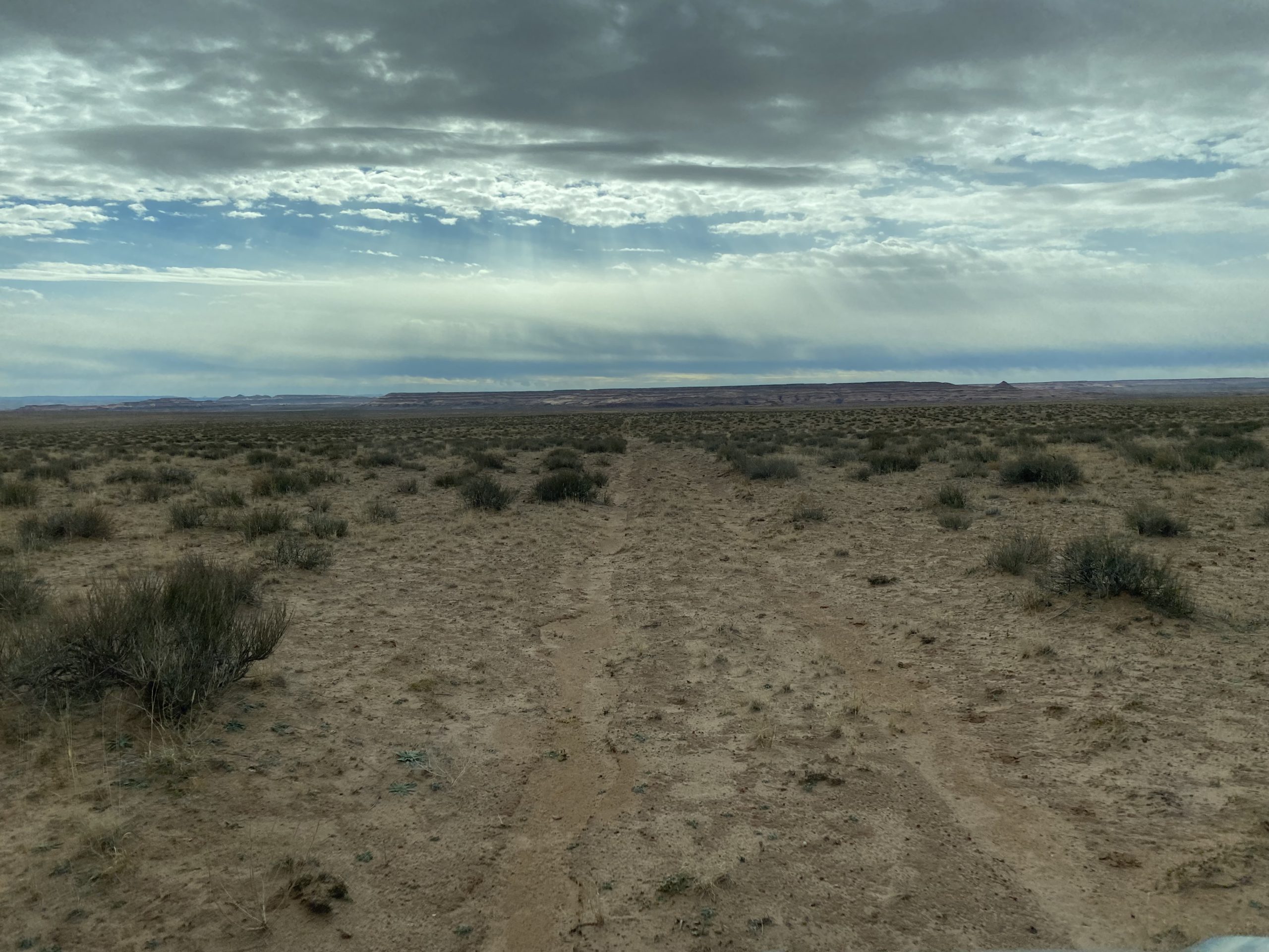
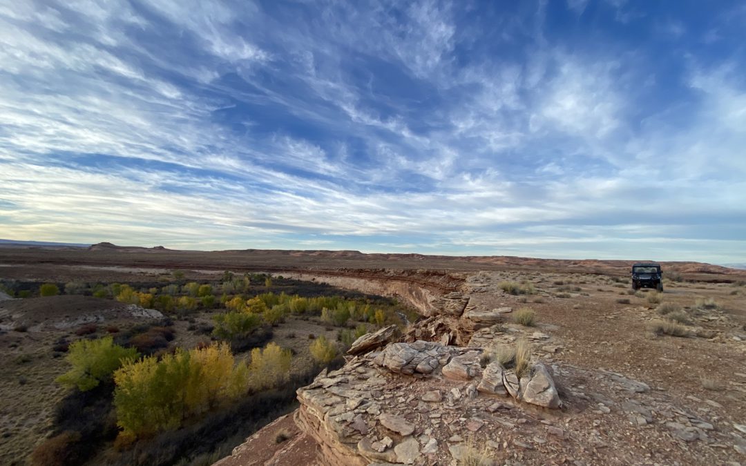
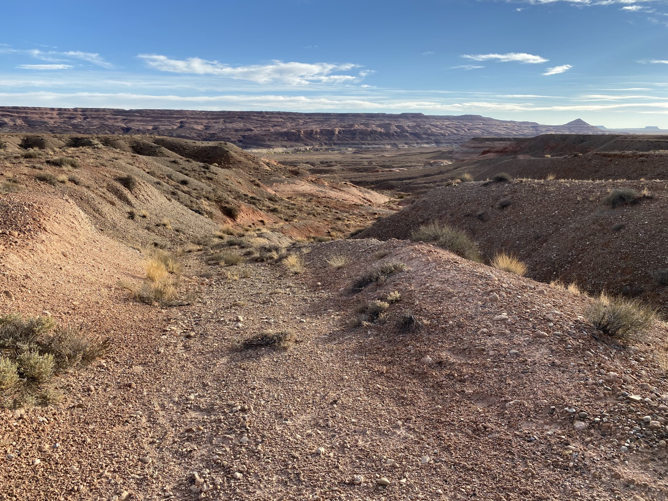
Trail Conditions and Access: Like all regular OHV roads, the trails on this route are two-track dirt roads that occasionally feature grass or hearty bushes growing between the tire tracks where soil is not disturbed by the tires of passing vehicles (see top left picture). As you traverse the network of routes in this article, you may occasionally run into areas where the trail seems to disappear because of sandstone sections or other terrain features. If you continue straight forward, the trail will quickly reappear. SD781, for example, is a lightly used OHV road and cow path that traverses several stretches more susceptible to erosion (such as the wash pictured above in the top right corner).
Where the trails featured in this article are remotely located and receive less use and or see heavy rains during annual monsoons, the casual passersby or agenda oriented environmentalist activist will frequently claim that these trails are reclaiming when they in fact see regular, light or moderate, valid use. We hope publicizing these routes will encourage volunteer restoration projects while also ensuring country road departments maintain them.
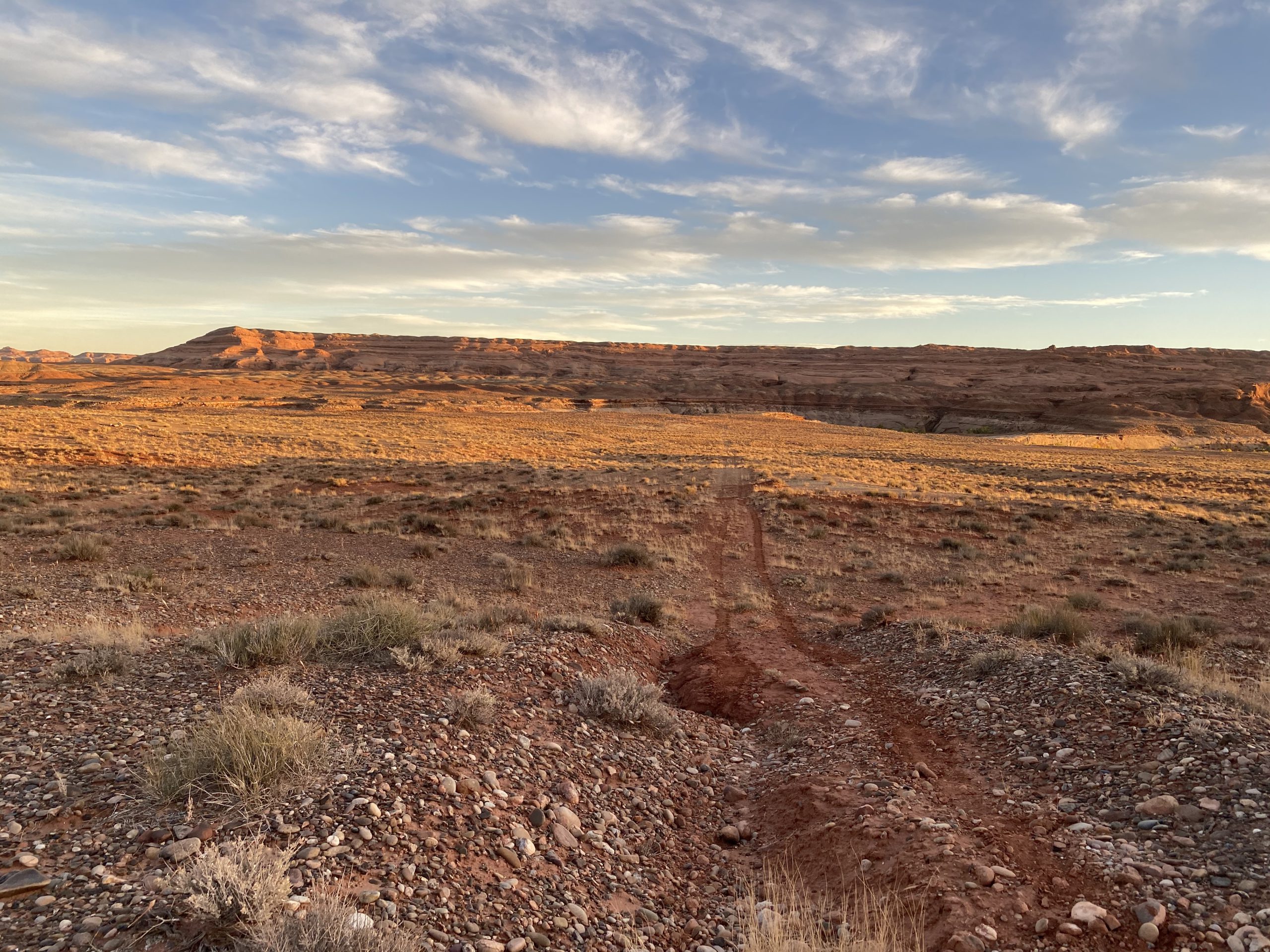
Trails marked as reclaiming are often closed in travel management plans, even when a short trip past an obtrusive bush or rocky wash (see top middle and top right images) reveals a trail that clearly stretches on for mile upon mile (see bottom middle image). Traveling more frequently in these areas helps to keep them on the map. Please help us in our fight to keep these trails open by visiting and responsibly recreating on them with your family and friends.
As evidenced in the pictures above, many of these trails have also seen purposeful bulldozing and graveling, intended to open these areas to OHV use for recreational and other purposes. The light vegetation invading these trails could be cleared out by a volunteer crew in a few hours.
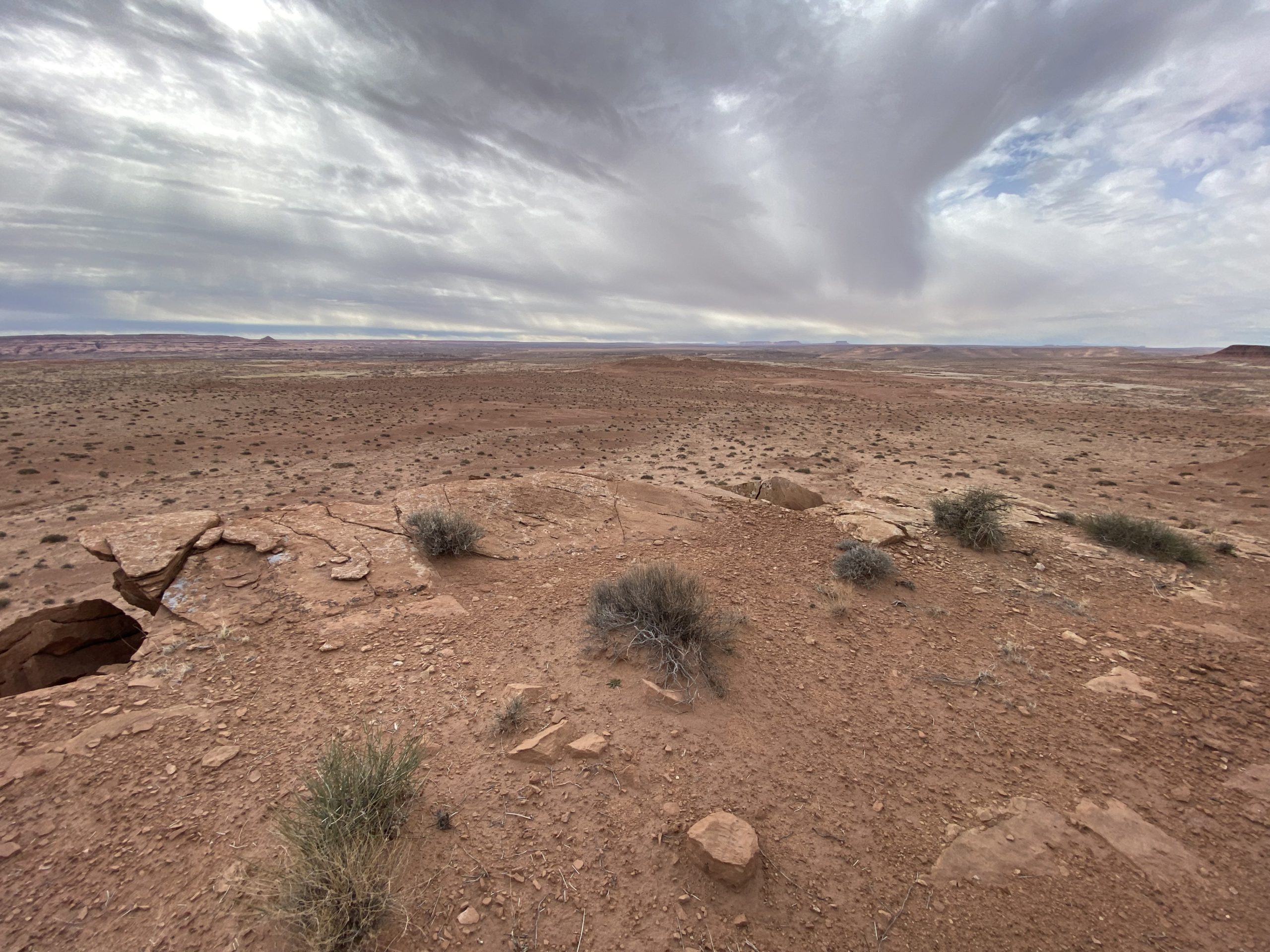
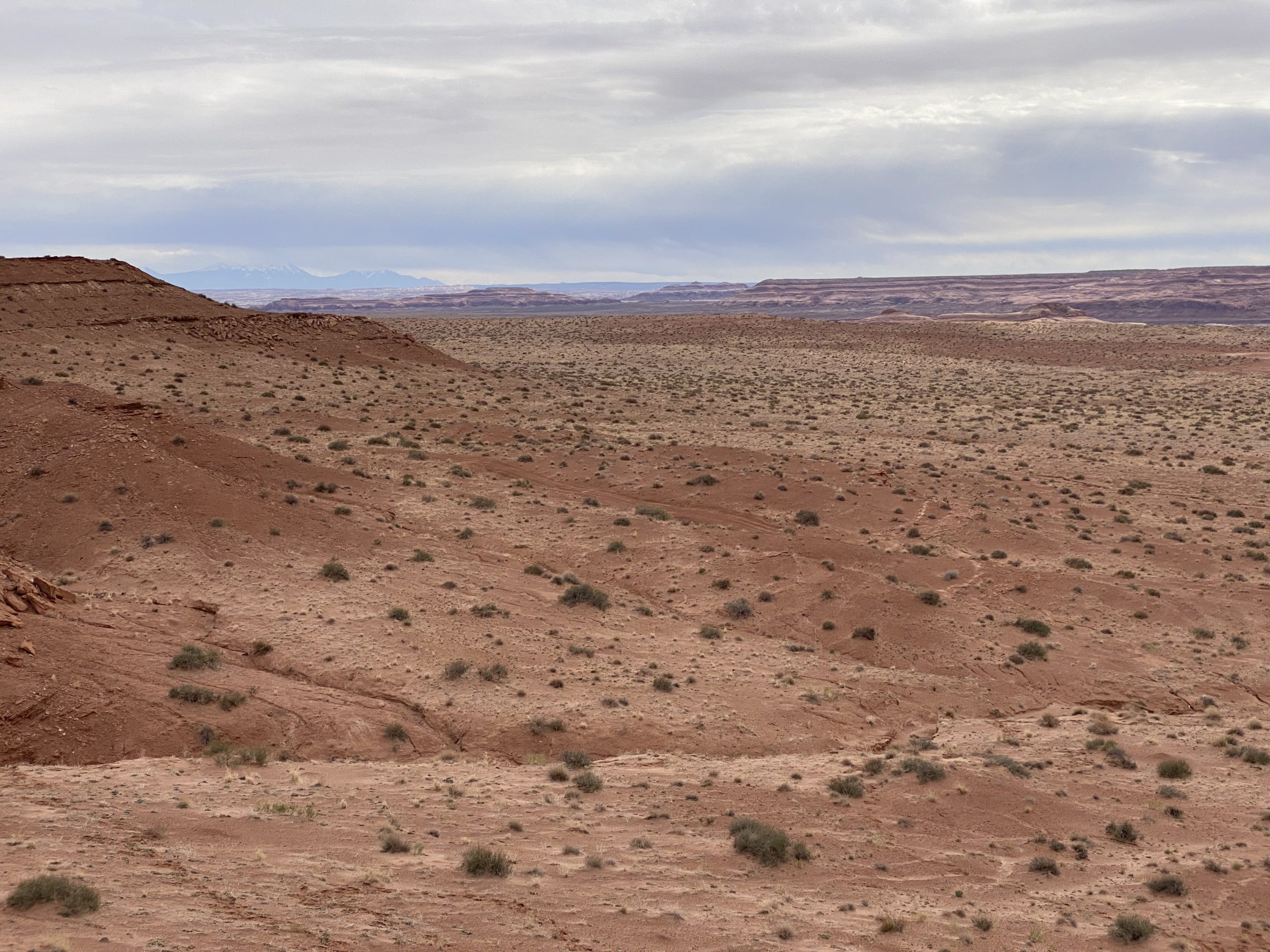
A Vast Desert Backcountry: Anti-access organizations and other extreme environmentalist groups claim that the San Rafael Desert is blanketed with OHV routes. Although this may appear true on a zoomed out map, covered with thick trail lines, the actual experience of the land in the San Rafael Desert is quite different. As you drive through this area, you will see vast stretches untouched by human hands or tire-tracks, adding to the beauty of what there is to be enjoyed in this area. According to trail density calculations, this is one of the least traversed areas across Southern Utah’s public lands, boasting a trail density of less than 1%.

This route report is part of a larger guidebook BRC is completing to educate users about high-value motorized trails that are at risk of closure if we don’t use them. This guidebook will be called the Lost Trails Guidebook, and has been funded by a generous grant from the Yamaha Outdoor Access Initiative with Jorgensens Powersports as a sponsoring dealership.


Went to run it. And it’s now gated. I specifically used this trail every year, at least once. For the last several years. I used it because I wouldn’t see people.
They had previously tried to gate it. And the gate had been removed.