
Overview: The San Rafael Swell (located just South of Price, UT) is home to some of the most spectacular deserts trails of the Intermountain West. This area is home to breathtaking sandstone cliffs and sweeping sands. Along the outskirts of the San Rafael Swell TMA, there are several lesser-known networks of BLM managed trails. These networks provide access to a nearly untouched backcountry. Within these networks, BLM Route SS2348 provides access to a San Rafael Reef overlook, historical mine shafts, dispersed campsites, and rugged rock crawling features. Located miles from the more popular routes in this area, your experience will be one of solitude and adventure.
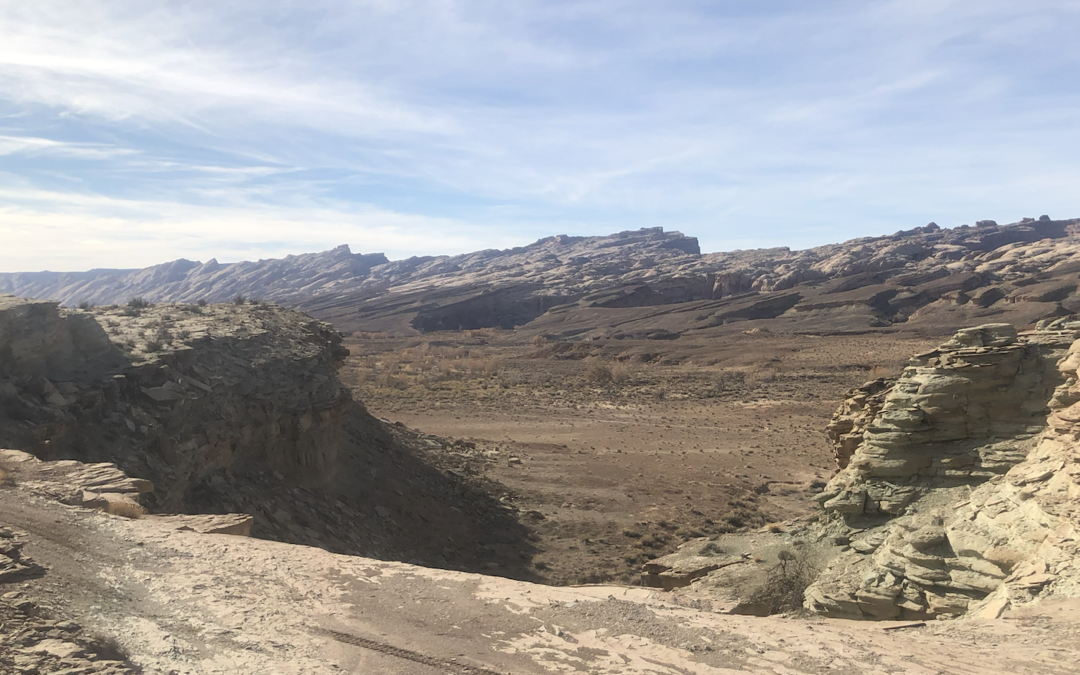
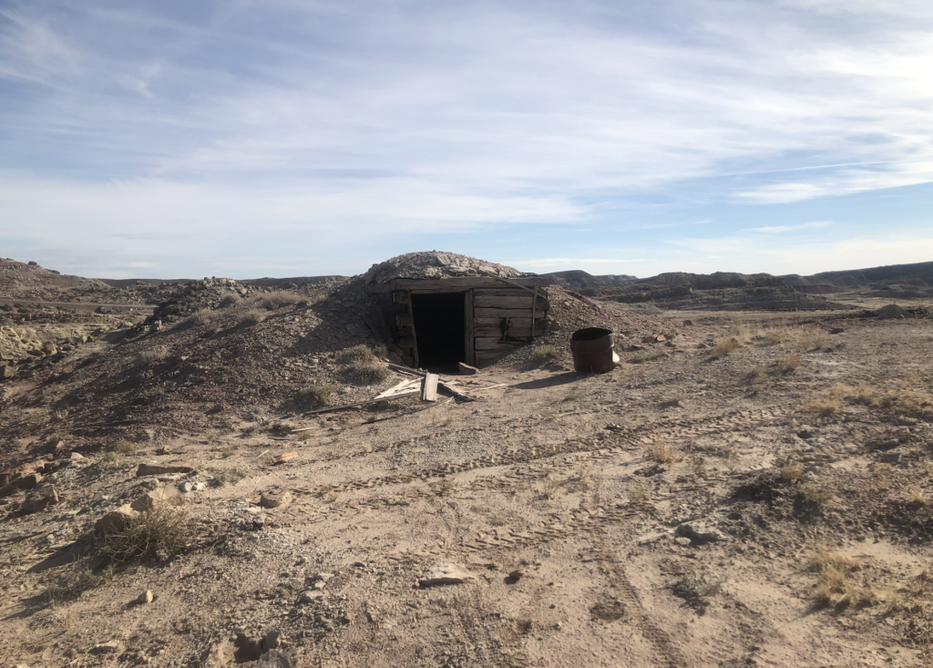
Getting There: You will exit north from exit 149 off of I-70. Just to the east there is a staging area which you can see in the first picture. As you can see there are many trails in this area that are fun to explore and offer a wide variety overlooks and dispersed camping areas. You will also be able to find several historical mine shafts. Please be careful as you are looking at these shafts. You can see from the map there are several routes that can take you to this scenic overlook from the staging area. One way is using SS2337 to SS 2338 which will connect you to SS2348. From here you can stay on top of the ridge and explore or you can drop down the ridge to the Tidwell Bottoms and explore closer to the San Rafael Reef. GPS Coordinates: -110.396 38.939 Degrees.
View Full BLM Scoping Map for the San Rafael Swell here: https://www.arcgis.com/apps/webappviewer/index.html?id=7ab9ab7390ae4a3b8131990680a8776f&extent=-12394149.4564%2C4653898.2205%2C-12265811.6859%2C4720857.0573%2C102100
Route Conditions: A 2WD vehicle will not cut it in this area. We recommend using a very well equipped, high clearance 4WD or AWD vehicle for access to both routes.As always, follow LEAVE NO TRACE practices. Irresponsible recreation leads to ecological damage, road closures, and loss of access to important resources. It is important that motorized users stay on the trail and camp within a 30′ buffer zone on either side of the road.

This route report is part of a larger guidebook BRC is completing to educate users about high-value motorized trails that are at risk of closure if we don’t use them. This guidebook will be called the Lost Trails Guidebook, and has been funded by a generous grant from the Yamaha Outdoor Access Initiative with Jorgensen Powersports as a sponsoring dealer.


