
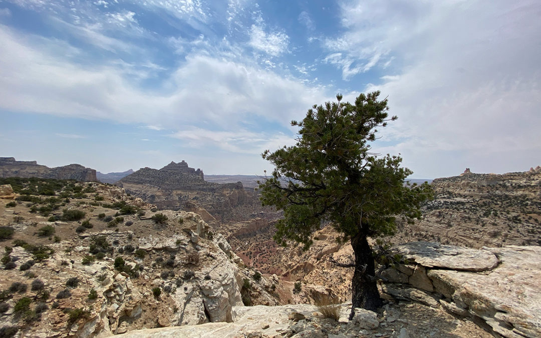
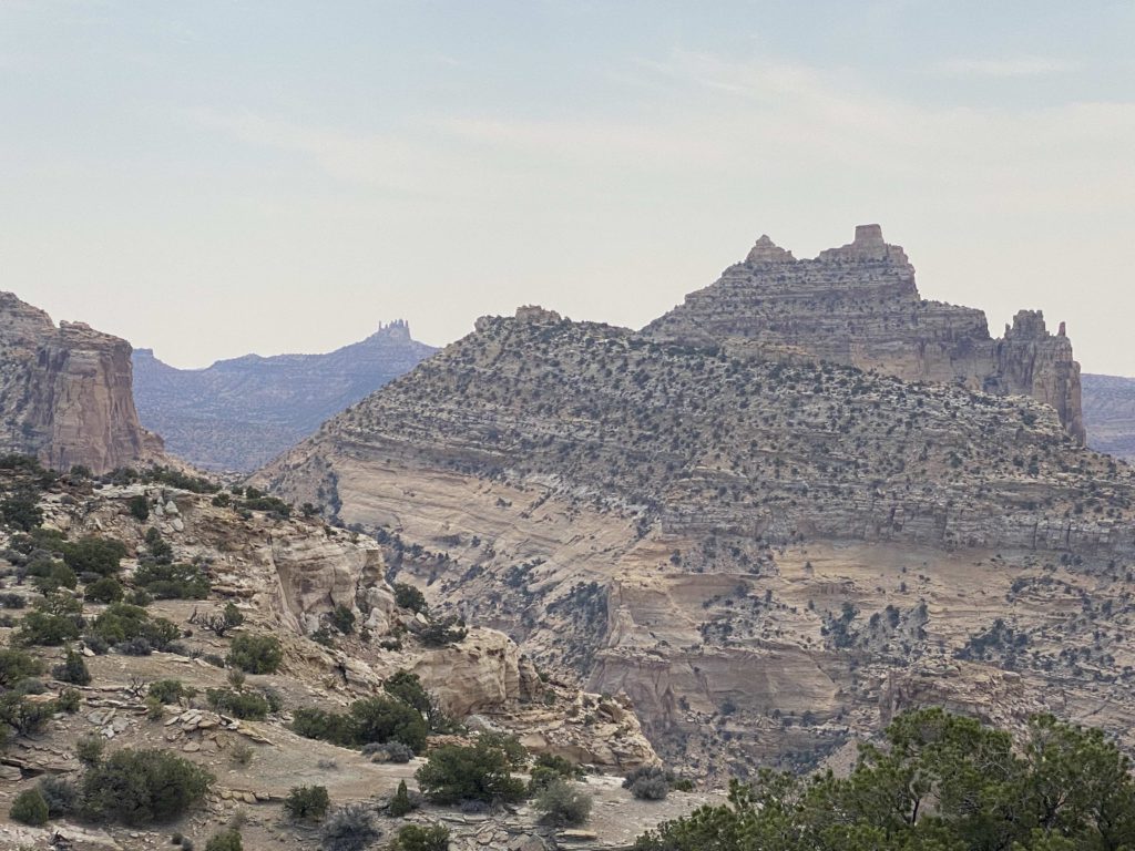
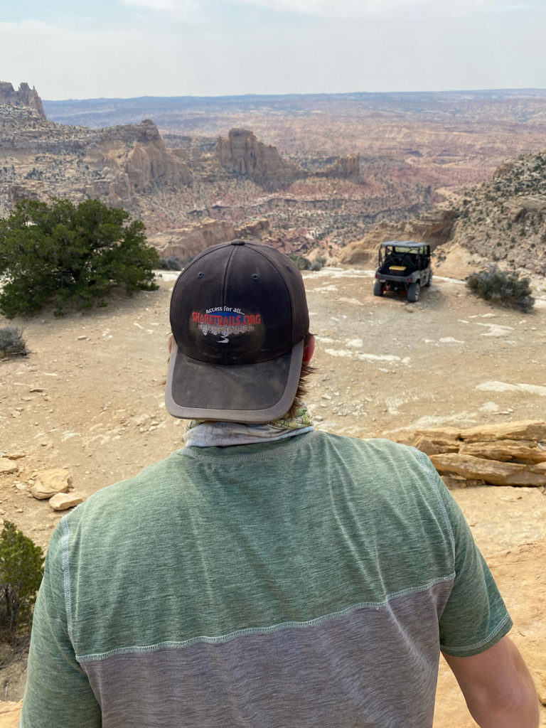
Overview: Utah’s San Rafael Swell (just east of Green River, UT and south of Price) is home to some of the most spectacular desert trails of the Intermountain West. This area is home to breathtaking sandstone cliffs, rugged dirt roads, slot canyons, washes, and canyons. Along the outskirts of the San Rafael Swell TMA, there are several lesser-known networks of BLM managed trails. These networks provide access to a nearly untouched backcountry, leading to the extreme solitude that many outdoor recreationists crave. The main access route to this area is a well-maintained 4WD road that can be accessed by a wide range of vehicles when conditions are good. By following an easy, open route that extends out along the edge of a dramatic overlook, this route is one you won’t want to miss.
Getting There: BLM Route SS4570 leads off of E Kimball Draw (also known as Cat Canyon Road) at GPS coordinates 38°47’6.72″N and 110°55’10.80″W. There are several routes that lead to this area within the many existing trails of the San Rafael Swell TMA. For those looking for the most direct route from I-70, E Kimball Draw can be reached by traveling south from Justensens Flat onto Copper Globe Road. For those with the vehicle capability to explore a more scenic, rugged route, we recommend approaching BLM SS4570 more organically through official trails that connect directly to the other areas you choose to explore during your trip.
Take time to familiarize yourself with the map and coordinates and plan a route that best fits you and your group. Be sure to not head off into the backcountry alone and tell someone where you are going before starting your trip. BLM Route SS4570 curves and extends along Sluphur Canyon’s cliff edge for about 0.3 miles before rejoining E Kimball Draw at GPS coordinates 38°47’3.97″N and 110°55’25.61″W.
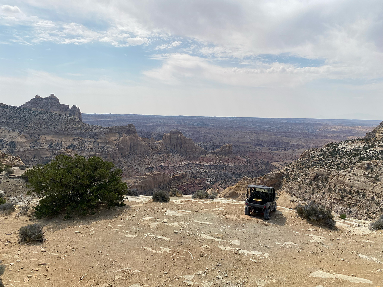
Route Conditions: BLM Route SS4570 is an easy, broad route. The first segment that leads from E Kimball Draw is slightly steep, but still wide and clear. This route is passable for any 4WD vehicle, and could probably be handled by stock SUVs and small campers.
As always, follow LEAVE NO TRACE practices. Careless recreation leads to ecological damage, road closures, and loss of access to important resources. It is important that motorized users stay on the trail and camp within a 30′ buffer zone on either side of the road.
These and other nearby spurs are at risk of closure if they are not used. Where BLM Route SS4570 is remotely located, and serves as a, “secondary road,” the casual passersby or agenda-driven activist may claim that this trail is redundant or reclaiming when it in fact sees regular, light or moderate use and provides access to a high-value recreational opportunity. Please help us in our fight to keep these trails open by visiting and responsibly recreating on them with your family and friends.

This route report is part of a larger guidebook BRC is completing to educate users about high-value motorized trails that are at risk of closure if we don’t use them. This guidebook will be called the Lost Trails Guidebook, and has been funded by a generous grant from the Yamaha Outdoor Access Initiative with Jorgensen Powersports as a sponsoring dealer.


