
The Department of Interior is in the process of creating the American Conservation and Stewardship Atlas. From our understanding, the Atlas will be used to track which lands and waters qualify to meet the objectives of the 30X30 initiative and set a road map for future areas that need more designations. Every square inch of federal and state lands already have layers of protections such as the FLPMA, Clean Water Act, Clean Air Act, NEPA, Antiquities Act, and the Endangered Species Act just to name a few.
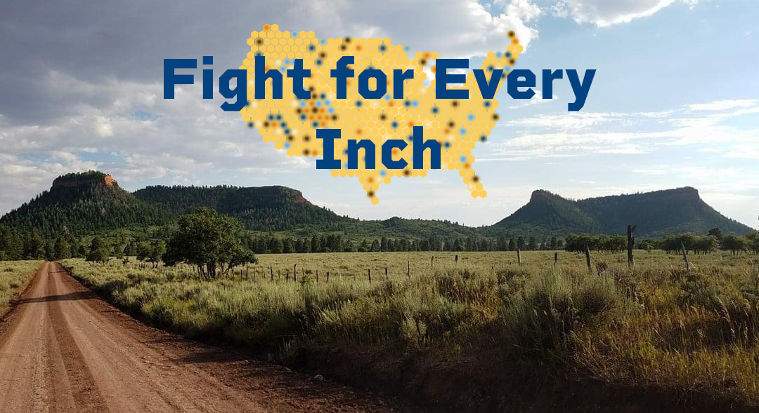
30X30 is an initiative put in place by President Biden to “protect” 30% of America’s lands and waters by the year 2030. This is not legislation and is simply a marketing campaign supported by conservation groups who want to restrict access on public lands. Most of the Western United States have more than 30% of their lands and waters already crippled with multiple layers of protections. BlueRibbon believes that the Atlas needs to correctly identify that all public land already has ample protections in place and this Atlas should not be used in order to justify more restrictions and designations that would limit more use.
Public comments regarding the Atlas are accepted until March 7th. You can read the information provided from the Department of Interior here. Please add your voice to ours using the tool below by clicking “Take Action”.


This initative is simply a way for the young and fit elitist to grab more land for themselves. I find this discriminatory to the mobile impaired like the elderly and disabled. As a taxpayer I should have the same right to enjoy the land as everyone else and not be punished because I can’t hike miles in. The elitist conservation groups will fund any kind of study that the goverment will go along with to fullfill there agenda of closing more land off for travel. Time to transfer federal lands in Utah to the local goverments to manage. Washington has no business in our local issues.
Keep public lands public!!